3 Edward Street, Newcastle Upon Tyne, NE3 1EA
About 3 Edward Street
3 Edward Street is a detached house in Newcastle Upon Tyne (NE3 1EA). It has a recorded floor area of 66 m² (around 710 sq ft), construction records dating it to 1900-1929 and council tax band A. At 66 m² this is the smallest unit on EPC record across the building (66–105 m²). The building's EPC ratings span E to C across 4 units on file. The latest certificate (March 2020) shows a D (score 63), on the cusp of jumping into the C band. Earlier certificates rated it B (November 2008); the latest reading is 2 bands lower. Between certificates, lighting went from Good to Very Good; while wall efficiency dropped from Good to Poor. The recommended improvements would push it to C (score 73).
One planning record on file: change of use to residential approved in 2007. Past consents include change of use to residential, meaningful when judging how the property has evolved. At 66 m² it's 26.7% smaller than the typical home in the postcode (90 m² median across 3 EPCs).
Everything you need to know about 3 Edward Street
The true value, the hidden risks and the full sale history, in one report.
30-day money-back guarantee

The data behind every report


Energy performance
EPC Rating
Property Improvements
Changes detected from historical EPC data
More low energy lighting installed
Planning history
- Jul 2007Change of UseFullIn report
Conversion of ground floor workshop (Class B1) to residential flat (Class C3) and alterations to elevations
- Reference
- 2007/1093/01/DET
What's in 3 Edward Street, Newcastle Upon Tyne, NE3 1EA's planning history?
Refusals, disputes and full decisions on this property and nearby, in the report.
Sales history & valuation
3 Edward Street has no Land Registry sales on file, suggesting it has stayed in the same hands since registration began.
£163,000
Modelled from EPC, postcode comparables.
No sales recorded with HM Land Registry
That can mean the property has never traded since the registry began publishing in 1995, was a new build that hasn't been registered yet, or is held in the same hands long-term.
Median price across the last 2 sales in NE3 1EA: £69,000 (2001–1999).
Everything you need to know about 3 Edward Street
The true value, the hidden risks and the full sale history, in one report.
30-day money-back guarantee
The data behind every report
Similar properties nearby
The neighbourhood at a glance
Rail-style transport is unusually close for this postcode.
Crime
6/mo
Steady year-on-year across the wider district.
Nearest stop
0.1 km
Salters Road-Linden Road — bus stop.
Closest school
0.1 km
Archibald First School. 26 schools nearby.
Go deeper on the local area
The full report breaks down crime, transport links, schools and air quality in depth.
Road noise across the postcode
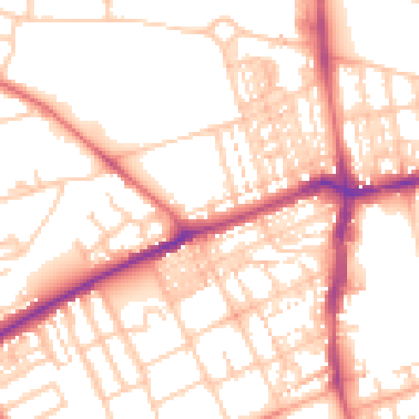
Daytime· 07:00 – 23:00
53.5dB

Night-time· 23:00 – 07:00
42.3dB