1 Poplar Place, Newcastle Upon Tyne, NE3 1DR
About 1 Poplar Place
1 Poplar Place is an end-of-terrace house in Newcastle Upon Tyne (NE3 1DR). It has a recorded floor area of 103 m² (around 1109 sq ft), construction records dating it to before 1900 and council tax band C. The latest certificate (August 2016) shows an E (score 49), well below the UK norm with real room to improve. The recommended improvements would lift it to B (score 81), a 3-band jump.
At 103 m² the property is well over the postcode median (65 m² across 10 EPCs), placing it in the larger end of the local stock. On the market in January 2017 and unlisted since — roughly 9 years. Across 2003–2017, sale prices on this property compounded at 0.6% per year. Today's modelled estimate of £346,000 is 38.4% above the 2017 sale price.
Everything you need to know about 1 Poplar Place
The true value, the hidden risks and the full sale history, in one report.
30-day money-back guarantee

The data behind every report


Energy performance
1 Poplar Place's carbon output runs well above what efficient homes in the postcode produce.
EPC Rating
Planning history
1 Poplar Place has no planning applications on record.
Notable planning nearby
1applications of note in the surrounding area
Sales history & valuation
1 Poplar Place's sale-price growth has lagged the wider UK trajectory across its history on file.
£346,000
Modelled from EPC, postcode comparables and a sale-price growth of 0.6% per year over 13 years.
£250,000
Growth on file: 0.6% per year over 13 years.
Sales timeline
30 January 2017Most recent
£250,000
+8.7%over 13 years20 October 2003
£230,000
Median price across the last 5 sales in NE3 1DR: £276,000 (2025–2020).
Nearby sales in NE3 1DR
8 Poplar Place, Newcastle Upon Tyne, NE3 1DR
Sold Jul 2025
£276,0006 Poplar Place, Newcastle Upon Tyne, NE3 1DR
Sold Feb 2025
£339,00018 Poplar Place, Newcastle Upon Tyne, NE3 1DR
Sold Dec 2024
£94,00017 Poplar Place, Newcastle Upon Tyne, NE3 1DR
Sold Jul 2021
£287,50016 Poplar Place, Newcastle Upon Tyne, NE3 1DR
Sold Jan 2020
£107,500
Versus other Poplar Place homes
1 Poplar Place is notably below the street on epc rating.
Price per m²
£2,427
Street avg £3,114
Floor Area
103 m²
Street avg 85 m²
Habitable Rooms
6 rooms
Street avg 4 rooms
CO₂ Emissions
8.0 t/year
Street avg 4.5 t/year
Everything you need to know about 1 Poplar Place
The true value, the hidden risks and the full sale history, in one report.
30-day money-back guarantee
The data behind every report
Similar properties nearby
The neighbourhood at a glance
Rail-style transport is unusually close for this postcode.
Crime
6/mo
Steady year-on-year across the wider district.
Nearest stop
0.2 km
Lansdowne Terrace — bus stop.
Closest school
0.1 km
Gosforth Junior High Academy. 26 schools nearby.
Go deeper on the local area
The full report breaks down crime, transport links, schools and air quality in depth.
Road noise across the postcode
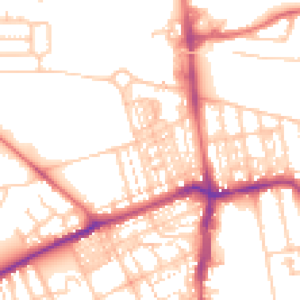
Daytime· 07:00 – 23:00
52.8dB

Night-time· 23:00 – 07:00
41.9dB