7 St James Street, Gosforth, Newcastle Upon Tyne, NE3 1BB
About 7 St James Street
7 St James Street is a detached house in Gosforth, Newcastle Upon Tyne, Newcastle Upon Tyne (NE3 1BB). It has a recorded floor area of 58 m² (around 624 sq ft), construction records dating it to 1930-1949 and council tax band A. The latest certificate (November 2025) shows a D (score 65), on the cusp of jumping into the C band. The recommended improvements would push it to C (score 75). This certificate was lodged in the last six months, so the rating reflects current condition.
One planning record on file: an extension approved in 2001. Past consents include an extension, a porch and a conservatory, meaningful when judging how the property has evolved. It lags the bulk of the postcode on energy efficiency (less efficient than 82% of similar EPCs).
Everything you need to know about 7 St James Street
The true value, the hidden risks and the full sale history, in one report.
30-day money-back guarantee

The data behind every report


Energy performance
The EPC has just been inspected, so the rating reflects current condition.
EPC Rating
Planning history
- Apr 2001PorchFullIn report
Erection of porch to front and kitchen and conservatory extension to rear as amended by plans received 3/4/01
ExtensionConservatory- Reference
- 2001/0194/01/DET
What's in 7 St James Street, Gosforth, Newcastle Upon Tyne, NE3 1BB's planning history?
Refusals, disputes and full decisions on this property and nearby, in the report.
Sales history & valuation
7 St James Street has no Land Registry sales on file, suggesting it has stayed in the same hands since registration began.
£178,000
Modelled from EPC, postcode comparables.
No sales recorded with HM Land Registry
That can mean the property has never traded since the registry began publishing in 1995, was a new build that hasn't been registered yet, or is held in the same hands long-term.
Versus other St James Street homes
On floor area, 7 St James Street runs well behind the street norm.
EPC Rating
65 (D)
Street avg 64 (D)
Floor Area
58 m²
Street avg 60 m²
CO₂ Emissions
2.3 t/year
Street avg 2.9 t/year
Habitable Rooms
4 rooms
Street avg 4 rooms
Everything you need to know about 7 St James Street
The true value, the hidden risks and the full sale history, in one report.
30-day money-back guarantee
The data behind every report
Similar properties nearby
The neighbourhood at a glance
Rail-style transport is unusually close for this postcode.
Crime
6/mo
Steady year-on-year across the wider district.
Nearest stop
0.2 km
Church Avenue-Church Road — bus stop.
Closest school
0.2 km
Archbishop Runcie CofE First School. 30 schools nearby.
Go deeper on the local area
The full report breaks down crime, transport links, schools and air quality in depth.
Road noise across the postcode
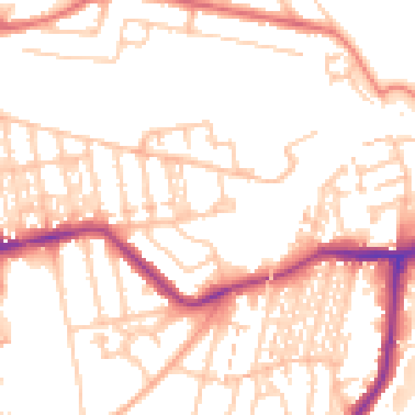
Daytime· 07:00 – 23:00
52.2dB

Night-time· 23:00 – 07:00
41.9dB