6 St James Street, Gosforth, Newcastle Upon Tyne, NE3 1BB
About 6 St James Street
6 St James Street is a detached house in Gosforth, Newcastle Upon Tyne, Newcastle Upon Tyne (NE3 1BB). It has a recorded floor area of 41 m² (around 441 sq ft), construction records dating it to 1950-1966 and council tax band A. At 41 m² this is the 2nd smallest of 12 units on EPC record in the building, where floor areas span 40–61 m². The building's EPC ratings span E to C, with this unit at the top. The latest certificate (October 2023) shows a C (score 72). When first surveyed in April 2009 the rating was D, the property has climbed 1 band since. Between certificates, wall efficiency went from Poor to Average, window efficiency went from Very Poor to Good and hot-water efficiency went from Average to Good.
At 41 m² it's 29.3% smaller than the typical home in the postcode (58 m² median across 11 EPCs).
Everything you need to know about 6 St James Street
The true value, the hidden risks and the full sale history, in one report.
30-day money-back guarantee

The data behind every report


Energy performance
EPC Rating
Property Improvements
Changes detected from historical EPC data
Heating controls upgraded for better temperature management
Hot water system upgraded
Single glazing replaced with double or better glazing
Cavity wall insulation installed
Planning history
6 St James Street has no planning applications on record.
Notable planning nearby
1applications of note in the surrounding area
Sales history & valuation
6 St James Street has no Land Registry sales on file, suggesting it has stayed in the same hands since registration began.
£133,000
Modelled from EPC, postcode comparables.
No sales recorded with HM Land Registry
That can mean the property has never traded since the registry began publishing in 1995, was a new build that hasn't been registered yet, or is held in the same hands long-term.
Versus other St James Street homes
EPC Rating
72 (C)
Street avg 73 (C)
Floor Area
41 m²
Street avg 47 m²
CO₂ Emissions
1.7 t/year
Street avg 1.7 t/year
Habitable Rooms
2 rooms
Street avg 2 rooms
Everything you need to know about 6 St James Street
The true value, the hidden risks and the full sale history, in one report.
30-day money-back guarantee
The data behind every report
Similar properties nearby
The neighbourhood at a glance
Rail-style transport is unusually close for this postcode.
Crime
6/mo
Steady year-on-year across the wider district.
Nearest stop
0.2 km
Church Avenue-Church Road — bus stop.
Closest school
0.2 km
Archbishop Runcie CofE First School. 30 schools nearby.
Go deeper on the local area
The full report breaks down crime, transport links, schools and air quality in depth.
Road noise across the postcode
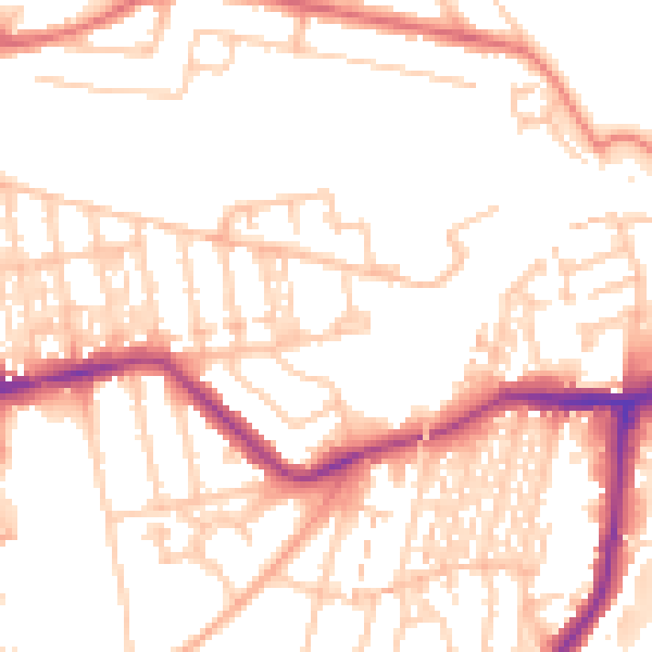
Daytime· 07:00 – 23:00
52.2dB

Night-time· 23:00 – 07:00
41.9dB