67 Oakfield Road, Gateshead, NE11 0AD
About 67 Oakfield Road
67 Oakfield Road is a two-bedroom semi-detached house in Gateshead (NE11 0AD). It has a recorded floor area of 39 m² (around 420 sq ft), construction records dating it to 1950-1966 and council tax band B. It is a listed building, which means external alterations are tightly controlled but it may qualify for heritage tax reliefs. The latest certificate (March 2015) shows a D (score 65), on the cusp of jumping into the C band. The rating has held steady at D across 2 certificates since February 2014. The recommended improvements would lift it to B (score 85), a 2-band jump. The latest certificate is from March 2015, so improvements made since then won't be reflected.
At 39 m² it sits well below the postcode median (67 m² across 14 EPCs), making it one of the more compact homes locally. Across 2004–2014, sale prices on this property compounded at 0.6% per year. Today's modelled estimate of £206,000 is 30.8% above the 2014 sale price. On a £-per-square-foot basis, the last sale (£375/sq ft) was about 109.8% above the typical sold price in the postcode. Last changed hands 12 years ago, in July 2014.
Know exactly what you're buying at 67 Oakfield Road
Before you offer, see what the listing won't tell you, the true value, the red flags and the full history.
Valuation
against the asking price
Risks
planning & flood
Sold prices
similar homes nearby
Trends
the local market
What this property has
Inside
- Bedrooms2
Outside
- Private gardenFront and rear
- DrivewayYes
Building
- Listed buildingYes
Energy performance
Recommended upgrades on file would lift this property by multiple EPC bands.
EPC Expired
This certificate is over 10 years old and is no longer valid.Expired 23 Mar 2025
EPC Rating
Planning history
67 Oakfield Road has no planning applications on record.
The full report still covers planning activity across the surrounding area.
Sales history & valuation
67 Oakfield Road valuation sits well clear of the typical sold price in this postcode.
£206,000
Modelled from EPC, postcode comparables and a sale-price growth of 0.6% per year over 10 years.
£157,500
Growth on file: 0.6% per year over 10 years.
Sales timeline
17 July 2014Most recent
£157,500
+6.4%over 9 years12 November 2004
£148,000
Median price across the last 5 sales in NE11 0AD: £154,000 (2024–2022).
Nearby sales in NE11 0AD
Everything we know about 67 Oakfield Road, in one report
What it's really worth, what could be wrong, and the planning, sales and area data in full.
- Am I paying too much?
- Is something wrong with it?
- Is the agent's story true?
- Will it hold its value?

Versus other Oakfield Road homes
67 Oakfield Road outperforms the street on price per m² by a wide margin.
Price per m²
£4,038
Street avg £2,067
Floor Area
39 m²
Street avg 72 m²
Habitable Rooms
4 rooms
Street avg 4 rooms
CO₂ Emissions
2.2 t/year
Street avg 3.7 t/year
Similar properties nearby
1 Laburnum Crescent
NE11 0XU
1 Coronation Terrace, Kibblesworth
NE11 0YB
1 Barrack Terrace
NE11 0YQ
1 Elderwood Gardens
NE11 0DH
1 Firwood Gardens
NE11 0DL
1 Greenwood Gardens, Lobley Hill
NE11 0DN
1 Beechwood Gardens
NE11 0BY
1 Gardiner Square
NE11 0XS
The neighbourhood at a glance
Reported crime in the wider district is trending notably upward year-on-year.
Crime
2/mo
Rising year-on-year across the wider district.
Nearest stop
0.1 km
Lobley Hill Road-Rothbury Gardens — bus stop.
Closest school
0.1 km
Lobley Hill Primary School. 23 schools nearby.
Go deeper on the local area
The full report breaks down crime, transport links, schools and air quality in depth.
Road noise across the postcode
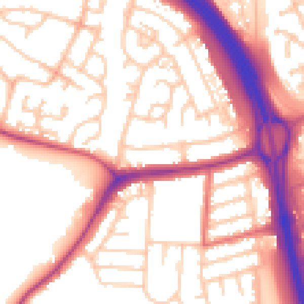
Daytime· 07:00 – 23:00
55.4dB

Night-time· 23:00 – 07:00
46.3dB