22 Red Barns, Newcastle Upon Tyne, NE1 2TP
About 22 Red Barns
22 Red Barns is a three-bedroom end-of-terrace house in Newcastle Upon Tyne (NE1 2TP). It has a recorded floor area of 73 m² (around 786 sq ft), construction records dating it to 1976-1982 and council tax band A. Tenure is freehold. The latest certificate (September 2016) shows a C (score 71). The recommended improvements would push it to B (score 87).
At 73 m² the property is well over the postcode median (56 m² across 37 EPCs), placing it in the larger end of the local stock. Today's modelled estimate of £184,000 is 18.7% above the 2023 sale price. On a £-per-square-foot basis, the last sale (£197/sq ft) was about 29.2% above the typical sold price in the postcode. Last sale on file: £155,000 in November 2023.
What this property has
Inside
- Bedrooms3
- Bathrooms1
Outside
- Private gardenSouth-east-facing
Building
- TenureFreehold
- Central heatingYes
Everything you need to know about 22 Red Barns
The true value, the hidden risks and the full sale history, in one report.
30-day money-back guarantee

The data behind every report


Energy performance
EPC Rating
Planning history
22 Red Barns has no planning applications on record.
Notable planning nearby
3applications of note in the surrounding area
Sales history & valuation
22 Red Barns valuation sits well clear of the typical sold price in this postcode.
£184,000
Modelled from EPC, postcode comparables.
£155,000
Recorded with HM Land Registry.
Sales timeline
17 November 2023Most recent
£155,000
Median price across the last 5 sales in NE1 2TP: £120,000 (2024–2017).
Nearby sales in NE1 2TP
5 Red Barns, Newcastle Upon Tyne, NE1 2TP
Sold Dec 2024
£147,75037 Red Barns, Newcastle Upon Tyne, NE1 2TP
Sold Sept 2023
£132,00033 Red Barns, Newcastle Upon Tyne, NE1 2TP
Sold Sept 2017
£120,00018 Red Barns, Newcastle Upon Tyne, NE1 2TP
Sold Jun 2017
£100,00023 Red Barns, Newcastle Upon Tyne, NE1 2TP
Sold Mar 2017
£160,000
Versus other Red Barns homes
Price per m² for 22 Red Barns runs comfortably ahead of the street norm.
Price per m²
£2,123
Street avg £1,839
Floor Area
73 m²
Street avg 72 m²
Habitable Rooms
4 rooms
Street avg 4 rooms
CO₂ Emissions
2.6 t/year
Street avg 2.8 t/year
Everything you need to know about 22 Red Barns
The true value, the hidden risks and the full sale history, in one report.
30-day money-back guarantee
The data behind every report
Similar properties nearby
1 Lime Square, City Road
NE1 2BA
10 Ouse Street
NE1 2DQ
10 Lime Square, City Road
NE1 2BA
1 Mariners Wharf, Quayside
NE1 2BJ
1 High Quay, City Road
NE1 2PD
10 Manor Chare Apartments, Manor Chare
NE1 2EQ
10 Mariners Wharf, Quayside
NE1 2BJ
10 Sallyport House, City Road
NE1 2AE
The neighbourhood at a glance
Rail-style transport is unusually close for this postcode.
Crime
14/mo
Rising year-on-year across the wider district.
Nearest stop
0.1 km
New Bridge Street-St Dominics — bus stop.
Closest school
0.4 km
Christ Church CofE Primary School. 34 schools nearby.
Go deeper on the local area
The full report breaks down crime, transport links, schools and air quality in depth.
Road noise across the postcode
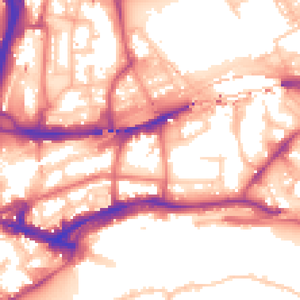
Daytime· 07:00 – 23:00
57.3dB

Night-time· 23:00 – 07:00
47.6dB