19 Ouse Street, Newcastle Upon Tyne, NE1 2DQ
About 19 Ouse Street
19 Ouse Street is a mid-terrace house in Newcastle Upon Tyne (NE1 2DQ). It has a recorded floor area of 91 m² (around 980 sq ft) and construction records dating it to 2021. The latest certificate (September 2021) returns a B (score 84), comfortably above the UK average.
Today's modelled estimate of £361,000 is 11.1% above the 2021 sale price. Sold October 2021 for £325,000. That sale was during the post-pandemic price surge, when transactions cleared materially above pre-2020 trend.
Everything you need to know about 19 Ouse Street
The true value, the hidden risks and the full sale history, in one report.
30-day money-back guarantee

The data behind every report


Energy performance
19 Ouse Street's carbon output is low for the local stock.
EPC Rating
Planning history
19 Ouse Street has no planning applications on record.
Notable planning nearby
3applications of note in the surrounding area
Sales history & valuation
The latest sale landed in the post-pandemic price surge — useful context when reading the figure.
£361,000
Modelled from EPC, postcode comparables.
£325,000
Recorded with HM Land Registry.
Sales timeline
14 October 2021Most recent
£325,000
Median price across the last 5 sales in NE1 2DQ: £300,000 (2024–2021).
Nearby sales in NE1 2DQ
21 Ouse Street, Newcastle Upon Tyne, NE1 2DQ
Sold Sept 2024
£355,0008 Ouse Street, Newcastle Upon Tyne, NE1 2DQ
Sold Jan 2024
£360,0005 Ouse Street, Newcastle Upon Tyne, NE1 2DQ
Sold Mar 2022
£300,0009 Ouse Street, Newcastle Upon Tyne, NE1 2DQ
Sold Feb 2022
£290,00025 Ouse Street, Newcastle Upon Tyne, NE1 2DQ
Sold Dec 2021
£290,000
Versus other Ouse Street homes
19 Ouse Street outperforms the street on price per m² by a wide margin.
Price per m²
£3,571
Street avg £3,287
Floor Area
91 m²
Street avg 95 m²
CO₂ Emissions
1.4 t/year
Street avg 1.4 t/year
Years Held
5 years
Street avg 4 years
Everything you need to know about 19 Ouse Street
The true value, the hidden risks and the full sale history, in one report.
30-day money-back guarantee
The data behind every report
Similar properties nearby
1 Byker Pier
NE1 2AR
1 Ouse Street
NE1 2DQ
10 Ouse Street
NE1 2DQ
10 High Quay, City Road
NE1 2PD
1 Lime Square, City Road
NE1 2BA
1 Manor Chare Apartments, Manor Chare
NE1 2EQ
10 Lime Square, City Road
NE1 2BA
1 Mariners Wharf, Quayside
NE1 2BJ
The neighbourhood at a glance
Reported crime in the wider district is trending notably upward year-on-year.
Crime
14/mo
Rising year-on-year across the wider district.
Nearest stop
0.1 km
Ouseburn Valley — bus stop.
Closest school
0.6 km
Byker Primary School. 38 schools nearby.
Go deeper on the local area
The full report breaks down crime, transport links, schools and air quality in depth.
Road noise across the postcode
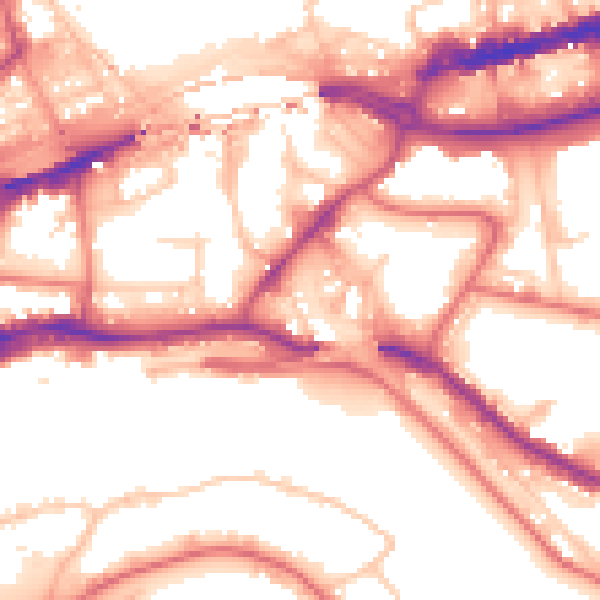
Daytime· 07:00 – 23:00
56.5dB

Night-time· 23:00 – 07:00
46.9dB