Flat 1, 28 Cornwall Road, London, N4 4PH
About Flat 1
Flat 1 is a mid-terrace house in London (N4 4PH). It has a recorded floor area of 69 m² (around 743 sq ft), construction records dating it to before 1900 and council tax band B. At 69 m² this is the largest unit on EPC record across the building (43–69 m²). The building's EPC ratings span E to C across 3 units on file. The latest certificate (October 2013) shows a D (score 66), on the cusp of jumping into the C band. Earlier certificates rated it C (June 2010); the latest reading is one band lower. Between certificates, wall efficiency dropped from Good to Very Poor and roof efficiency dropped from Good to Very Poor. The recommended improvements would push it to C (score 75). The latest certificate is from October 2013, so improvements made since then won't be reflected.
Most recent transfer: May 2020 at £595,000. Across the public record there are 6 sales, relatively high churn for a single property. 2 planning records sit against the property, 1 approved, 1 refused. Past consents include an extension, meaningful when judging how the property has evolved. At 69 m² it's 25.5% larger than the typical home in the postcode (55 m² median across 50 EPCs). Across 1998–2020, sale prices on this property compounded at 10.2% per year. Today's modelled estimate of £688,000 is 15.6% above the 2020 sale price. On a £-per-square-foot basis, the last sale (£801/sq ft) was about 123.7% above the typical sold price in the postcode.
Know exactly what you're buying at Flat 1
Before you offer, see what the listing won't tell you, the true value, the red flags and the full history.
Already flagged here
Valuation
against the asking price
Risks
planning & flood
Sold prices
similar homes nearby
Trends
the local market
Energy performance
Flat 1's EPC is over a decade old — improvements since won't be reflected.
EPC Expired
This certificate is over 10 years old and is no longer valid.Expired 26 Oct 2023
EPC Rating
Planning history
Flat 1 has an approved extension on the planning record.
- Jan 2018ExtensionFullIn report
Erection of rear side infill extension to replace existing
- Documents
- 19 docs on file
- Reference
- HGY/2017/3401
- Jul 2003ExtensionFullIn report
Extension: Single storey
Demolition of existing extension and erection of single storey dining/kitchen extension.
- Documents
- 5 docs on file
- Reference
- HGY/2003/0867
We flagged 1 thing worth checking at Flat 1
Independent checks surfaced things a buyer would want to understand before offering. The report explains each one in full, with the underlying data and what to ask.
- Larger development activity nearby
30-day money-back guarantee
Sales history & valuation
Price for Flat 1 has grown more than fourfold since the 1998 starting point.
£688,000
Modelled from EPC, postcode comparables and a sale-price growth of 10.2% per year over 22 years.
£595,000
Growth on file: 10.2% per year over 22 years.
Sales timeline
14 May 2020Most recent
£595,000
+160.4%over 10 years15 January 2010
£228,500
-1.7%over 6 years19 November 2003
£232,500
+29.2%over 2 years19 April 2001
£180,000
+44.0%over 2 years20 November 1998
£125,000
+78.6%over 6 months7 May 1998
£70,000
Median price across the last 5 sales in N4 4PH: £620,000 (2025–2023).
Nearby sales in N4 4PH
Everything we know about Flat 1, in one report
What it's really worth, what could be wrong, and the planning, sales and area data in full.
What we flagged
- Larger development activity nearby

Versus other Cornwall Road homes
On habitable rooms, Flat 1 stands well clear of the street.
Price per m²
£8,623
Street avg £6,944
Floor Area
69 m²
Street avg 55 m²
Habitable Rooms
5 rooms
Street avg 3 rooms
CO₂ Emissions
2.8 t/year
Street avg 2.4 t/year
Similar properties nearby
1a, Flat 10, Holly Park, Islington
N4 4AT
1a, Flat 20, Holly Park, Islington
N4 4AT
1a, Flat 8, Holly Park, Islington
N4 4AT
17a, Flat 2, Ferme Park Road, Haringey
N4 4DS
1a, Flat 4, Holly Park, Islington
N4 4AT
1a, Flat 3, Holly Park, Islington
N4 4AT
1a, Flat 14, Holly Park, Islington
N4 4AT
1a, Flat 2, Holly Park, Islington
N4 4AT
The neighbourhood at a glance
Rail-style transport is unusually close for this postcode.
Crime
15/mo
Rising year-on-year across the wider district.
Nearest stop
0.2 km
Oakfield Road Stroud Green — bus stop.
Closest school
0.3 km
St Aidan's Voluntary Controlled Primary School. 85 schools nearby.
Go deeper on the local area
The full report breaks down crime, transport links, schools and air quality in depth.
Road noise across the postcode
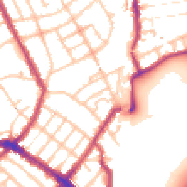
Daytime· 07:00 – 23:00
53.1dB

Night-time· 23:00 – 07:00
43.7dB