4c, Athelstane Mews, Islington, London, N4 3EH
About 4c
4c is a mid-terrace house in Islington, London, London (N4 3EH). It has a recorded floor area of 64 m² (around 689 sq ft) and construction records dating it to 2023. The latest certificate (November 2024) shows a C (score 75), near the top of the C band. The recommended improvements would lift it to A (score 103), a 2-band jump.
At 64 m² it's 25.5% larger than the typical home in the postcode (51 m² median across 7 EPCs).
Know exactly what you're buying at 4c
Before you offer, see what the listing won't tell you, the true value, the red flags and the full history.
Valuation
against the asking price
Risks
planning & flood
Sold prices
similar homes nearby
Trends
the local market
Energy performance
Recommended upgrades on file would lift this property by multiple EPC bands.
EPC Rating
Planning history
4c has no planning applications on record.
Notable planning nearby
2applications of note in the surrounding area
Sales history & valuation
4c has no Land Registry sales on file, suggesting it has stayed in the same hands since registration began.
£605,000
Modelled from EPC, postcode comparables.
No sales recorded with HM Land Registry
That can mean the property has never traded since the registry began publishing in 1995, was a new build that hasn't been registered yet, or is held in the same hands long-term.
Median price across the last 4 sales in N4 3EH: £407,500 (2024–2004).
Everything we know about 4c, in one report
What it's really worth, what could be wrong, and the planning, sales and area data in full.
- Am I paying too much?
- Is something wrong with it?
- Is the agent's story true?
- Will it hold its value?

Versus other Athelstane Mews homes
EPC Rating
75 (C)
Street avg 74 (C)
Floor Area
64 m²
Street avg 67 m²
CO₂ Emissions
1.6 t/year
Street avg 1.9 t/year
Similar properties nearby
1 Bracey Mews, Islington
N4 3HJ
1 Almington Street, Islington
N4 3BP
1 Athelstane Mews, Islington
N4 3EH
1 Marriott Road, Islington
N4 3QN
1 Searle Place, Islington
N4 3AZ
1 Birnam Road, Islington
N4 3LJ
1 Osborne Road, Haringey
N4 3SA
1 Fenstanton, Marquis Road, Haringey
N4 3AT
The neighbourhood at a glance
Rail-style transport is unusually close for this postcode.
Crime
15/mo
Rising year-on-year across the wider district.
Nearest stop
0.1 km
Tollington Park — bus stop.
Closest school
0.3 km
Stroud Green Primary School. 89 schools nearby.
Go deeper on the local area
The full report breaks down crime, transport links, schools and air quality in depth.
Road noise across the postcode
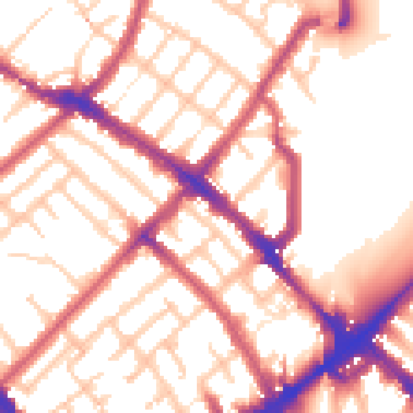
Daytime· 07:00 – 23:00
55.0dB

Night-time· 23:00 – 07:00
45.0dB