1 3, Eldon Parade, Eldon Road, Haringey, London, N22 5DU
About 1 3
1 3 is a property in Haringey, London, London (N22 5DU).
2 planning records sit against the property, 2 approved, 0 refused. Past consents include subdivision and change of use to residential, meaningful when judging how the property has evolved. Most recent transfer: June 2022 at £380,000. That sale was during the post-pandemic price surge, when transactions cleared materially above pre-2020 trend.
Know exactly what you're buying at 1 3
Before you offer, see what the listing won't tell you, the true value, the red flags and the full history.
Already flagged here
Valuation
against the asking price
Risks
planning & flood
Sold prices
similar homes nearby
Trends
the local market
Energy performance
No EPC on record
This property doesn't have an Energy Performance Certificate yet. An EPC is required to sell or let — and unlocks our automated valuation.
Planning history
Council records show a subdivision application — the property's legal arrangement has been altered.
- Jul 2023ConditionsIn report
Approval of details pursuant to condition 3 (Cycle Parking) attached to application HGY/2021/1918
- Documents
- 9 docs on file
- Reference
- HGY/2022/2738
- Oct 2021SubdivisionFullIn report
Conversion of 1, 2, 3 Eldon Parade from (vacant) cafe use to residential use, providing 2no. new apartments. First floor added to provide apartment at first floor and elevations updated to suit residential use.
Change of Use- Documents
- 28 docs on file
- Reference
- HGY/2021/1918
We flagged 2 things worth checking at 1 3
Independent checks surfaced things a buyer would want to understand before offering. The report explains each one in full, with the underlying data and what to ask.
- Signs of HMO activity in the area
- Larger development activity nearby
30-day money-back guarantee
Sales history & valuation
The latest sale landed in the post-pandemic price surge — useful context when reading the figure.
£380,000
Recorded with HM Land Registry.
Sales timeline
30 June 2022Most recent
£380,000
Everything we know about 1 3, in one report
What it's really worth, what could be wrong, and the planning, sales and area data in full.
What we flagged
- Signs of HMO activity in the area
- Larger development activity nearby

Similar properties nearby
1 2, Newnham Mews, Haringey
N22 5TB
1 Berners Road, Haringey
N22 5NE
1 Berwick Road, Haringey
N22 5QB
1 Bracknell Close, Haringey
N22 5RE
1 Cambridge Close, Haringey
N22 5PT
1 Canning Crescent, Haringey
N22 5SR
1 Chapmans Green, Highfield Close, Haringey
N22 5TP
1 Coombe Road, Haringey
N22 5LB
The neighbourhood at a glance
Rail-style transport is unusually close for this postcode.
Crime
10/mo
Rising year-on-year across the wider district.
Nearest stop
0.1 km
Morley Avenue — bus stop.
Closest school
0.1 km
Lordship Lane Primary School. 77 schools nearby.
Go deeper on the local area
The full report breaks down crime, transport links, schools and air quality in depth.
Road noise across the postcode
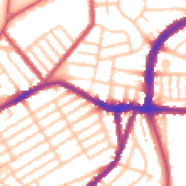
Daytime· 07:00 – 23:00
54.2dB

Night-time· 23:00 – 07:00
43.8dB