10 Bovec Grove, Whitehouse, Milton Keynes, MK8 1GP
About 10 Bovec Grove
10 Bovec Grove is an end-of-terrace house in Whitehouse, Milton Keynes, Milton Keynes (MK8 1GP). It has a recorded floor area of 64 m² (around 689 sq ft) and construction records dating it to 2023. The latest certificate (June 2024) returns a B (score 83), comfortably above the UK average. The recommended improvements would push it to A (score 97).
At 64 m² it's 20% smaller than the typical home in the postcode (80 m² median across 11 EPCs). Last sale on file: £344,178 in October 2024.
Everything you need to know about 10 Bovec Grove
The true value, the hidden risks and the full sale history, in one report.
30-day money-back guarantee

The data behind every report


Energy performance
10 Bovec Grove's carbon output is low for the local stock.
EPC Rating
Planning history
10 Bovec Grove has no planning applications on record.
The full report still covers planning activity across the surrounding area.
Sales history & valuation
£342,000
Modelled from EPC, postcode comparables.
£344,178
Recorded with HM Land Registry.
Sales timeline
31 October 2024Most recent
£344,178
Median price across the last 5 sales in MK8 1GP: £350,000 (2025–2024).
Nearby sales in MK8 1GP
12 Bovec Grove, Whitehouse, Milton Keynes, MK8 1GP
Sold Mar 2025
£350,00011 Bovec Grove, Whitehouse, Milton Keynes, MK8 1GP
Sold Jan 2025
£350,0009 Bovec Grove, Whitehouse, Milton Keynes, MK8 1GP
Sold Sept 2024
£343,7002 Bovec Grove, Whitehouse, Milton Keynes, MK8 1GP
Sold Aug 2024
£405,00013 Bovec Grove, Whitehouse, Milton Keynes, MK8 1GP
Sold Aug 2024
£555,000
Versus other Bovec Grove homes
EPC Rating for 10 Bovec Grove lags the street by a wide margin.
Price per m²
£5,378
Street avg £5,025
Floor Area
64 m²
Street avg 82 m²
CO₂ Emissions
1.1 t/year
Street avg 0.9 t/year
Years Held
2 years
Street avg 2 years
Everything you need to know about 10 Bovec Grove
The true value, the hidden risks and the full sale history, in one report.
30-day money-back guarantee
The data behind every report
Similar properties nearby
1 Anjou Terrace, Whitehouse
MK8 1AW
1 Blue Albion Lane, Whitehouse
MK8 1BR
1 Abigar Close, Whitehouse
MK8 1EN
1 Boreray Close, Whitehouse
MK8 1EZ
1 Beltie Close, Whitehouse
MK8 1FE
1 Corriedale, Whitehouse
MK8 1HH
1 Cheviot Crescent, Whitehouse
MK8 1ER
1 Dalesbred Grove, Whitehouse
MK8 1DW
The neighbourhood at a glance
Daytime road noise here sits well below conversation level — a quiet pocket of the postcode.
Crime
3/mo
Steady year-on-year across the wider district.
Nearest stop
0.4 km
Brahaman Way — bus stop.
Closest school
0.3 km
Watling Primary School. 20 schools nearby.
Go deeper on the local area
The full report breaks down crime, transport links, schools and air quality in depth.
Road noise across the postcode
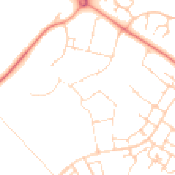
Daytime· 07:00 – 23:00
48.6dB

Night-time· 23:00 – 07:00
37.4dB