13 Deoni Drive, Whitehouse, Milton Keynes, MK8 1FG
About 13 Deoni Drive
13 Deoni Drive is an end-of-terrace house in Whitehouse, Milton Keynes, Milton Keynes (MK8 1FG). It has a recorded floor area of 76 m² (around 818 sq ft) and construction records dating it to 2021. The latest certificate (September 2023) returns a B (score 84), comfortably above the UK average. The recommended improvements would push it to A (score 96).
Today's modelled estimate of £230,000 is 39.4% above the 2024 sale price. On a £-per-square-foot basis, the last sale (£202/sq ft) was about 55% below the postcode norm. Most recent transfer: January 2024 at £165,000.
Everything you need to know about 13 Deoni Drive
The true value, the hidden risks and the full sale history, in one report.
30-day money-back guarantee

The data behind every report


Energy performance
13 Deoni Drive's carbon output is low for the local stock.
EPC Rating
Planning history
13 Deoni Drive has no planning applications on record.
The full report still covers planning activity across the surrounding area.
Sales history & valuation
Latest sale on 13 Deoni Drive was the lowest on Land Registry record across the postcode.
£230,000
Modelled from EPC, postcode comparables.
£165,000
Recorded with HM Land Registry.
Sales timeline
19 January 2024Most recent
£165,000
Median price across the last 5 sales in MK8 1FG: £399,995 (2024–2024).
Nearby sales in MK8 1FG
26 Deoni Drive, Whitehouse, Milton Keynes, MK8 1FG
Sold Dec 2024
£389,99518 Deoni Drive, Whitehouse, Milton Keynes, MK8 1FG
Sold Dec 2024
£398,99520 Deoni Drive, Whitehouse, Milton Keynes, MK8 1FG
Sold Nov 2024
£419,99516 Deoni Drive, Whitehouse, Milton Keynes, MK8 1FG
Sold Nov 2024
£414,99524 Deoni Drive, Whitehouse, Milton Keynes, MK8 1FG
Sold Sept 2024
£399,995
Versus other Deoni Drive homes
On price per m², 13 Deoni Drive runs well behind the street norm.
Price per m²
£2,171
Street avg £4,978
Floor Area
76 m²
Street avg 80 m²
CO₂ Emissions
1.2 t/year
Street avg 1.2 t/year
Years Held
2 years
Street avg 2 years
Everything you need to know about 13 Deoni Drive
The true value, the hidden risks and the full sale history, in one report.
30-day money-back guarantee
The data behind every report
Similar properties nearby
1 Deoni Drive, Whitehouse
MK8 1FG
1 Corriedale, Whitehouse
MK8 1HH
1 Blue Albion Lane, Whitehouse
MK8 1BR
1 Anjou Terrace, Whitehouse
MK8 1AW
1 Abigar Close, Whitehouse
MK8 1EN
1 Boreray Close, Whitehouse
MK8 1EZ
1 Beltie Close, Whitehouse
MK8 1FE
1 Cheviot Crescent, Whitehouse
MK8 1ER
The neighbourhood at a glance
Crime
3/mo
Steady year-on-year across the wider district.
Nearest stop
0.2 km
Teeswater Way — bus stop.
Closest school
0.7 km
Watling Primary School. 23 schools nearby.
Go deeper on the local area
The full report breaks down crime, transport links, schools and air quality in depth.
Road noise across the postcode
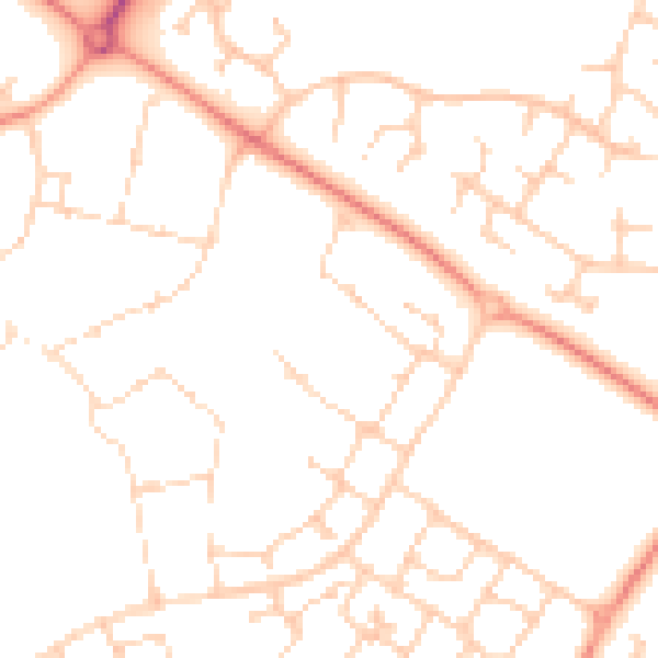
Daytime· 07:00 – 23:00
50.0dB

Night-time· 23:00 – 07:00
38.0dB