29 Hudson Lane, Crownhill, Milton Keynes, MK8 0EG
About 29 Hudson Lane
29 Hudson Lane is a mid-terrace house in Crownhill, Milton Keynes, Milton Keynes (MK8 0EG). It has a recorded floor area of 38 m² (around 407 sq ft), construction records dating it to 1983-1990 and council tax band A. The latest certificate (December 2008) shows a C (score 76), near the top of the C band. The recommended improvements would push it to B (score 82). The latest certificate is from December 2008, so improvements made since then won't be reflected.
At 38 m² it sits well below the postcode median (84 m² across 15 EPCs), making it one of the more compact homes locally.
Everything you need to know about 29 Hudson Lane
The true value, the hidden risks and the full sale history, in one report.
30-day money-back guarantee

The data behind every report


Energy performance
29 Hudson Lane's EPC is over a decade old — improvements since won't be reflected.
EPC Expired
This certificate is over 10 years old and is no longer valid.Expired 17 Dec 2018
EPC Rating
Planning history
29 Hudson Lane has no planning applications on record.
The full report still covers planning activity across the surrounding area.
Sales history & valuation
29 Hudson Lane has no Land Registry sales on file, suggesting it has stayed in the same hands since registration began.
£153,000
Modelled from EPC, postcode comparables.
No sales recorded with HM Land Registry
That can mean the property has never traded since the registry began publishing in 1995, was a new build that hasn't been registered yet, or is held in the same hands long-term.
Versus other Hudson Lane homes
On floor area, 29 Hudson Lane runs well behind the street norm.
EPC Rating
76 (C)
Street avg 75 (C)
Floor Area
38 m²
Street avg 80 m²
CO₂ Emissions
1.6 t/year
Street avg 2.5 t/year
Habitable Rooms
2 rooms
Street avg 3 rooms
Everything you need to know about 29 Hudson Lane
The true value, the hidden risks and the full sale history, in one report.
30-day money-back guarantee
The data behind every report
Similar properties nearby
1 Dandridge Court, Grange Farm
MK8 0PQ
1 Chaplin Grove, Crownhill
MK8 0DQ
1 Atwell Close, Crownhill
MK8 0EU
1 Garbo Close, Crownhill
MK8 0EA
1 Dunthorne Way, Grange Farm
MK8 0NJ
1 Baxter Close, Crownhill
MK8 0BE
1 Cogan Court, Crownhill
MK8 0BJ
1 Bolan Court, Crownhill
MK8 0BT
The neighbourhood at a glance
Crime
3/mo
Steady year-on-year across the wider district.
Nearest stop
0.1 km
Hendrix Drive — bus stop.
Closest school
0.7 km
Christ the Sower Ecumenical Primary School. 18 schools nearby.
Go deeper on the local area
The full report breaks down crime, transport links, schools and air quality in depth.
Road noise across the postcode
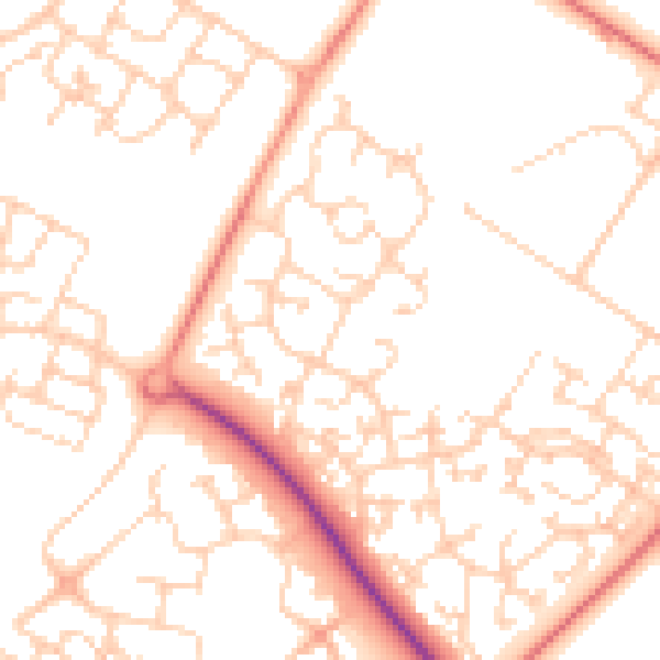
Daytime· 07:00 – 23:00
51.5dB

Night-time· 23:00 – 07:00
39.3dB