5 Barton Road, Bedford, MK42 0NA
About 5 Barton Road
5 Barton Road is a two-bedroom semi-detached house in Bedford (MK42 0NA). It has a recorded floor area of 53 m² (around 570 sq ft), construction records dating it to 1950-1966 and council tax band B. The latest certificate (October 2021) shows a D (score 67), on the cusp of jumping into the C band. The rating has held steady at D across 2 certificates since May 2014. Between certificates, roof efficiency went from Good to Very Good, window efficiency went from Average to Good and lighting went from Very Poor to Very Good; while wall efficiency dropped from Good to Average. The recommended improvements would lift it to B (score 85), a 2-band jump. Other recorded features include outbuildings. Records show the property has been extended at some point in its history.
One planning record on file: an extension approved in 2021. Past consents include an extension, meaningful when judging how the property has evolved. At 53 m² it's 26.4% smaller than the typical home in the postcode (72 m² median across 48 EPCs). It lags the bulk of the postcode on energy efficiency (less efficient than 83% of similar EPCs). Across 2022–2023, sale prices on this property compounded at 3.5% per year. On a £-per-square-foot basis, the last sale (£508/sq ft) was about 316% above the typical sold price in the postcode. Sold March 2023 for £290,000.
Know exactly what you're buying at 5 Barton Road
Before you offer, see what the listing won't tell you, the true value, the red flags and the full history.
Already flagged here
Valuation
against the asking price
Risks
planning & flood
Sold prices
similar homes nearby
Trends
the local market
What this property has
Inside
- Bedrooms2
- Bathrooms1
- Dining roomYes
- CloakroomYes
- EnsuiteYes
Outside
- Private gardenRear
- OutbuildingsYes
Building
- Previously extendedYes
- RefurbishedYes
Energy performance
Recommended upgrades on file would lift this property by multiple EPC bands.
EPC Rating
Property Improvements
Changes detected from historical EPC data
Window efficiency improved
Roof insulation improved
More low energy lighting installed
Planning history
5 Barton Road has an approved single-storey rear extension on the planning record.
- Jun 2021ExtensionFullIn report
Extension: Single storey · Rear of property
Single storey ground floor rear extension providing accessible ground floor bedroom and shower room.
- Documents
- 10 docs on file
- Reference
- 21/00627/FUL
We flagged 2 things worth checking at 5 Barton Road
Independent checks surfaced things a buyer would want to understand before offering. The report explains each one in full, with the underlying data and what to ask.
- Signs of HMO activity in the area
- Larger development activity nearby
30-day money-back guarantee
Sales history & valuation
5 Barton Road changed hands twice within eighteen months — unusual for the area.
£309,000
Modelled from EPC, postcode comparables and a sale-price growth of 3.5% per year over 1 year.
£290,000
Growth on file: 3.5% per year over 1 year.
Sales timeline
2 March 2023Most recent
£290,000
+3.6%over 1 year23 February 2022
£280,000
Median price across the last 5 sales in MK42 0NA: £200,000 (2022–2014).
Everything we know about 5 Barton Road, in one report
What it's really worth, what could be wrong, and the planning, sales and area data in full.
What we flagged
- Signs of HMO activity in the area
- Larger development activity nearby

Versus other Barton Road homes
On price per m², 5 Barton Road stands well clear of the street.
Price per m²
£5,472
Street avg £1,359
Floor Area
53 m²
Street avg 79 m²
Habitable Rooms
3 rooms
Street avg 4 rooms
CO₂ Emissions
2.3 t/year
Street avg 2.7 t/year
Similar properties nearby
1 Boscombe Lane, Shortstown
MK42 0EE
1 Acacia Road
MK42 0HT
1 Alburgh Close
MK42 0HG
1 Beauvais Square, Shortstown
MK42 0GE
1 Brampton Close
MK42 0HD
1 Acorn Way
MK42 0QN
1 Brabazon Close, Shortstown
MK42 0FL
1 Atherstone Close, Shortstown
MK42 0GH
The neighbourhood at a glance
Crime
6/mo
Steady year-on-year across the wider district.
Nearest stop
0.1 km
Collins Place — bus stop.
Closest school
0.6 km
King's Oak Primary School. 15 schools nearby.
Go deeper on the local area
The full report breaks down crime, transport links, schools and air quality in depth.
Road noise across the postcode
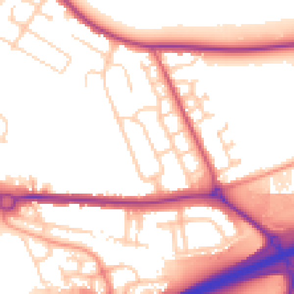
Daytime· 07:00 – 23:00
54.6dB

Night-time· 23:00 – 07:00
46.2dB