3 Mallow Gate, Conniburrow, Milton Keynes, MK14 7EU
About 3 Mallow Gate
3 Mallow Gate is a detached house in Conniburrow, Milton Keynes, Milton Keynes (MK14 7EU). It has a recorded floor area of 49 m² (around 527 sq ft), construction records dating it to 2003-2006 and council tax band A. The latest certificate (January 2016) shows a C (score 79), near the top of the C band. The latest certificate is from January 2016, so improvements made since then won't be reflected.
Know exactly what you're buying at 3 Mallow Gate
Before you offer, see what the listing won't tell you, the true value, the red flags and the full history.
Already flagged here
Valuation
against the asking price
Risks
planning & flood
Sold prices
similar homes nearby
Trends
the local market
Energy performance
3 Mallow Gate's carbon output is low for the local stock.
EPC Expired
This certificate is over 10 years old and is no longer valid.Expired 07 Jan 2026
EPC Rating
Planning history
3 Mallow Gate has no planning applications on record.
Notable planning nearby
12applications of note in the surrounding area
We flagged 1 thing worth checking at 3 Mallow Gate
Independent checks surfaced things a buyer would want to understand before offering. The report explains each one in full, with the underlying data and what to ask.
- Signs of HMO activity in the area
30-day money-back guarantee
Sales history & valuation
3 Mallow Gate has no Land Registry sales on file, suggesting it has stayed in the same hands since registration began.
£139,000
Modelled from EPC, postcode comparables.
No sales recorded with HM Land Registry
That can mean the property has never traded since the registry began publishing in 1995, was a new build that hasn't been registered yet, or is held in the same hands long-term.
Everything we know about 3 Mallow Gate, in one report
What it's really worth, what could be wrong, and the planning, sales and area data in full.
What we flagged
- Signs of HMO activity in the area

Similar properties nearby
1 Mallow Gate, Conniburrow
MK14 7EU
1 Percheron Place, Downs Barn
MK14 7LP
1 Byerly House, Byerly Place, Downs Barn
MK14 7LY
1 Larkspur Avenue, Conniburrow
MK14 7NJ
1 Coltsfoot Court, Flat 1, Coltsfoot Place, Conniburrow
MK14 7ES
1 Coltsfoot Court, Flat 2, Coltsfoot Place, Conniburrow
MK14 7ES
1 Coltsfoot Court, Flat 3, Coltsfoot Place, Conniburrow
MK14 7ES
1 Coltsfoot Court, Flat 4, Coltsfoot Place, Conniburrow
MK14 7ES
The neighbourhood at a glance
Crime
5/mo
Steady year-on-year across the wider district.
Nearest stop
0.0 km
Mallow Gate — bus stop.
Closest school
0.2 km
Germander Park School. 30 schools nearby.
Go deeper on the local area
The full report breaks down crime, transport links, schools and air quality in depth.
Road noise across the postcode
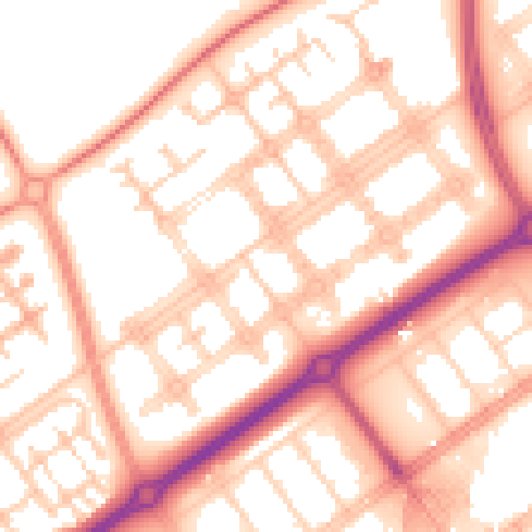
Daytime· 07:00 – 23:00
55.0dB
Night-time· 23:00 – 07:00
43.7dB