11 Wakefield Close, Neath Hill, Milton Keynes, MK14 6JQ
About 11 Wakefield Close
11 Wakefield Close is a detached house in Neath Hill, Milton Keynes, Milton Keynes (MK14 6JQ). It has a recorded floor area of 101 m² (around 1087 sq ft), construction records dating it to 1983-1990 and council tax band D. The latest certificate (February 2021) shows a C (score 73). The recommended improvements would push it to B (score 86).
Across 1998–2024, sale prices on this property compounded at 6.1% per year. On a £-per-square-foot basis, the last sale (£345/sq ft) was about 120.9% above the typical sold price in the postcode. Most recent transfer: July 2024 at £375,000.
Know exactly what you're buying at 11 Wakefield Close
Before you offer, see what the listing won't tell you, the true value, the red flags and the full history.
Valuation
against the asking price
Risks
planning & flood
Sold prices
similar homes nearby
Trends
the local market
Energy performance
EPC Rating
Planning history
11 Wakefield Close has no planning applications on record.
Notable planning nearby
2applications of note in the surrounding area
Sales history & valuation
Latest sale on 11 Wakefield Close was the highest on Land Registry record across the postcode.
£407,000
Modelled from EPC, postcode comparables and a sale-price growth of 6.1% per year over 26 years.
£375,000
Growth on file: 6.1% per year over 26 years.
Sales timeline
8 July 2024Most recent
£375,000
+20.0%over 3 years26 May 2021
£312,500
+150.0%over 20 years27 March 2001
£125,000
+54.3%over 2 years25 June 1998
£81,000
Median price across the last 5 sales in MK14 6JQ: £285,000 (2021–2010).
Nearby sales in MK14 6JQ
4 Wakefield Close, Neath Hill, Milton Keynes, MK14 6JQ
Sold Feb 2021
£300,0002 Wakefield Close, Neath Hill, Milton Keynes, MK14 6JQ
Sold May 2017
£312,5008 Wakefield Close, Neath Hill, Milton Keynes, MK14 6JQ
Sold Jan 2017
£285,00010 Wakefield Close, Neath Hill, Milton Keynes, MK14 6JQ
Sold Oct 2010
£165,00012 Wakefield Close, Neath Hill, Milton Keynes, MK14 6JQ
Sold Apr 2010
£215,000
Everything we know about 11 Wakefield Close, in one report
What it's really worth, what could be wrong, and the planning, sales and area data in full.
- Am I paying too much?
- Is something wrong with it?
- Is the agent's story true?
- Will it hold its value?

Versus other Wakefield Close homes
Price per m² for 11 Wakefield Close runs comfortably ahead of the street norm.
Price per m²
£3,713
Street avg £2,172
Floor Area
101 m²
Street avg 100 m²
Habitable Rooms
5 rooms
Street avg 6 rooms
CO₂ Emissions
3.1 t/year
Street avg 4.4 t/year
Similar properties nearby
1 Byward Close, Neath Hill
MK14 6JB
1 Constable Close, Neath Hill
MK14 6JD
1 Fair Isle View, Oakridge Park
MK14 6FN
1 Aran Court, Oakridge Park
MK14 6FB
1 Ashfield, Stantonbury
MK14 6AU
1 Dewsbury, Oakridge Park
MK14 6FW
1 Broad Arrow Close, Neath Hill
MK14 6JA
1 Camlet Grove, Stantonbury Fields
MK14 6TD
The neighbourhood at a glance
Crime
5/mo
Steady year-on-year across the wider district.
Nearest stop
0.2 km
Redbridge Roundabout East — bus stop.
Closest school
0.2 km
St Monica's Catholic Primary School. 24 schools nearby.
Go deeper on the local area
The full report breaks down crime, transport links, schools and air quality in depth.
Road noise across the postcode
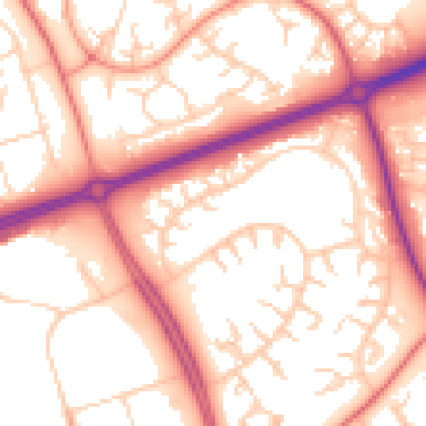
Daytime· 07:00 – 23:00
55.6dB

Night-time· 23:00 – 07:00
45.5dB