1 Turners Mews, Neath Hill, Milton Keynes, MK14 6HH
About 1 Turners Mews
1 Turners Mews is an end-of-terrace house in Neath Hill, Milton Keynes, Milton Keynes (MK14 6HH). It has a recorded floor area of 47 m² (around 506 sq ft), construction records dating it to 1983-1990 and council tax band A. The latest certificate (March 2025) shows a C (score 76), near the top of the C band.
At 47 m² it sits well below the postcode median (99 m² across 12 EPCs), making it one of the more compact homes locally.
Know exactly what you're buying at 1 Turners Mews
Before you offer, see what the listing won't tell you, the true value, the red flags and the full history.
Valuation
against the asking price
Risks
planning & flood
Sold prices
similar homes nearby
Trends
the local market
Energy performance
1 Turners Mews's carbon output is low for the local stock.
EPC Rating
Planning history
1 Turners Mews has no planning applications on record.
Notable planning nearby
2applications of note in the surrounding area
Sales history & valuation
1 Turners Mews has no Land Registry sales on file, suggesting it has stayed in the same hands since registration began.
£146,000
Modelled from EPC, postcode comparables.
No sales recorded with HM Land Registry
That can mean the property has never traded since the registry began publishing in 1995, was a new build that hasn't been registered yet, or is held in the same hands long-term.
Median price across the last 5 sales in MK14 6HH: £175,000 (2024–2001).
Nearby sales in MK14 6HH
14 Turners Mews, Neath Hill, Milton Keynes, MK14 6HH
Sold May 2024
£175,00010 Turners Mews, Neath Hill, Milton Keynes, MK14 6HH
Sold Dec 2021
£250,00011 Turners Mews, Neath Hill, Milton Keynes, MK14 6HH
Sold Oct 2011
£175,0008 Turners Mews, Neath Hill, Milton Keynes, MK14 6HH
Sold Jan 2002
£85,5003 Turners Mews, Neath Hill, Milton Keynes, MK14 6HH
Sold Aug 2001
£87,500
Everything we know about 1 Turners Mews, in one report
What it's really worth, what could be wrong, and the planning, sales and area data in full.
- Am I paying too much?
- Is something wrong with it?
- Is the agent's story true?
- Will it hold its value?

Versus other Turners Mews homes
Habitable Rooms for 1 Turners Mews runs comfortably ahead of the street norm.
EPC Rating
76 (C)
Street avg 74 (C)
Floor Area
47 m²
Street avg 56 m²
CO₂ Emissions
1.5 t/year
Street avg 1.8 t/year
Habitable Rooms
3 rooms
Street avg 2 rooms
Similar properties nearby
1 Cordwainer Court, Neath Hill
MK14 6JW
1 Brownbaker Court, Neath Hill
MK14 6JH
1 Carpenter Court, Neath Hill
MK14 6JP
1 Bowyers Mews, Neath Hill
MK14 6HP
1 Carvers Mews, Neath Hill
MK14 6HN
1 Albany Court, Stantonbury
MK14 6DN
1 Cutlers Mews, Neath Hill
MK14 6HR
1 Cawarden, Stantonbury
MK14 6AH
The neighbourhood at a glance
Crime
5/mo
Steady year-on-year across the wider district.
Nearest stop
0.3 km
Pennyland Local Centre — bus stop.
Closest school
0.2 km
Brooksward School. 24 schools nearby.
Go deeper on the local area
The full report breaks down crime, transport links, schools and air quality in depth.
Road noise across the postcode
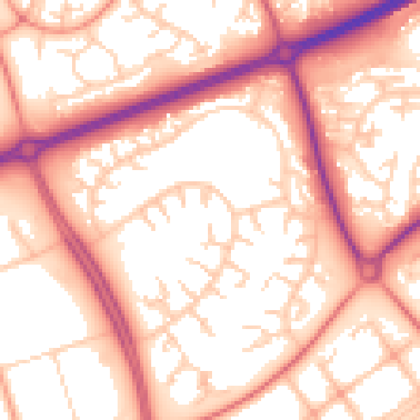
Daytime· 07:00 – 23:00
56.3dB
Night-time· 23:00 – 07:00
46.4dB