21 Ormonde, Stantonbury, Milton Keynes, MK14 6DH
About 21 Ormonde
21 Ormonde is a property in Stantonbury, Milton Keynes, Milton Keynes (MK14 6DH). It has council tax band A.
Held since February 2000 — that's 26 years off the open market, well above the local norm. Across 1996–2000, sale prices on this property compounded at 12.6% per year.
Know exactly what you're buying at 21 Ormonde
Before you offer, see what the listing won't tell you, the true value, the red flags and the full history.
Valuation
against the asking price
Risks
planning & flood
Sold prices
similar homes nearby
Trends
the local market
Energy performance
No EPC on record
This property doesn't have an Energy Performance Certificate yet. An EPC is required to sell or let — and unlocks our automated valuation.
Planning history
21 Ormonde has no planning applications on record.
Notable planning nearby
2applications of note in the surrounding area
Sales history & valuation
21 Ormonde saw 3 transfers in just over a decade — high turnover for the postcode.
£39,500
Growth on file: 12.6% per year over 4 years.
Sales timeline
4 February 2000Most recent
£39,500
+51.9%over 3 years20 December 1996
£26,000
+3.0%over 8 months2 May 1996
£25,250
Median price across the last 5 sales in MK14 6DH: £160,000 (2025–2019).
Nearby sales in MK14 6DH
59 Ormonde, Stantonbury, Milton Keynes, MK14 6DH
Sold Aug 2025
£160,00031 Ormonde, Stantonbury, Milton Keynes, MK14 6DH
Sold May 2025
£175,00075 Ormonde, Stantonbury, Milton Keynes, MK14 6DH
Sold Feb 2020
£160,00029 Ormonde, Stantonbury, Milton Keynes, MK14 6DH
Sold Dec 2019
£115,00079 Ormonde, Stantonbury, Milton Keynes, MK14 6DH
Sold Oct 2017
£70,000
Everything we know about 21 Ormonde, in one report
What it's really worth, what could be wrong, and the planning, sales and area data in full.
- Am I paying too much?
- Is something wrong with it?
- Is the agent's story true?
- Will it hold its value?

Similar properties nearby
1 Albany Court, Stantonbury
MK14 6DN
1 Aran Court, Oakridge Park
MK14 6FB
1 Arkwright Mews, Oakridge Park
MK14 6FT
1 Armourer Drive, Neath Hill
MK14 6JT
1 Ashfield, Stantonbury
MK14 6AU
1 Barbers Mews, Neath Hill
MK14 6HS
1 Beauchamp Close, Neath Hill
MK14 6HZ
1 Black Horse Lodge, Oakridge Park
MK14 6NT
The neighbourhood at a glance
Crime
5/mo
Steady year-on-year across the wider district.
Nearest stop
0.2 km
Foxhunter Drive — bus stop.
Closest school
0.4 km
Wood End Infant & Pre-School. 23 schools nearby.
Go deeper on the local area
The full report breaks down crime, transport links, schools and air quality in depth.
Road noise across the postcode
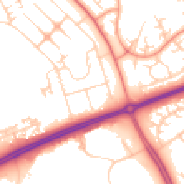
Daytime· 07:00 – 23:00
53.3dB

Night-time· 23:00 – 07:00
42.8dB