8 Walshs Manor, Stantonbury, Milton Keynes, MK14 6BU
About 8 Walshs Manor
8 Walshs Manor is a property in Stantonbury, Milton Keynes, Milton Keynes (MK14 6BU). It has council tax band B.
Untraded for 30 years, with the last transfer in May 1996. Across 1996–1996, sale prices on this property compounded at 23% per year.
Know exactly what you're buying at 8 Walshs Manor
Before you offer, see what the listing won't tell you, the true value, the red flags and the full history.
Already flagged here
Valuation
against the asking price
Risks
planning & flood
Sold prices
similar homes nearby
Trends
the local market
Energy performance
No EPC on record
This property doesn't have an Energy Performance Certificate yet. An EPC is required to sell or let — and unlocks our automated valuation.
Planning history
8 Walshs Manor has no planning applications on record.
Notable planning nearby
2applications of note in the surrounding area
We flagged 1 thing worth checking at 8 Walshs Manor
Independent checks surfaced things a buyer would want to understand before offering. The report explains each one in full, with the underlying data and what to ask.
- Recent ownership pattern worth a look
30-day money-back guarantee
Sales history & valuation
8 Walshs Manor changed hands twice within eighteen months — unusual for the area.
£37,500
Growth on file: 23.0% per year over 1 year.
Sales timeline
7 May 1996Most recent
£37,500
+23.0%8 April 1996
£30,500
Median price across the last 5 sales in MK14 6BU: £255,000 (2025–2015).
Nearby sales in MK14 6BU
29 Walshs Manor, Stantonbury, Milton Keynes, MK14 6BU
Sold Feb 2025
£322,50012 Walshs Manor, Stantonbury, Milton Keynes, MK14 6BU
Sold Jul 2024
£260,0002 Walshs Manor, Stantonbury, Milton Keynes, MK14 6BU
Sold Sept 2020
£255,00023 Walshs Manor, Stantonbury, Milton Keynes, MK14 6BU
Sold Nov 2017
£218,00025 Walshs Manor, Stantonbury, Milton Keynes, MK14 6BU
Sold Jul 2015
£160,000
Everything we know about 8 Walshs Manor, in one report
What it's really worth, what could be wrong, and the planning, sales and area data in full.
What we flagged
- Recent ownership pattern worth a look

Similar properties nearby
1 Albany Court, Stantonbury
MK14 6DN
1 Aran Court, Oakridge Park
MK14 6FB
1 Arkwright Mews, Oakridge Park
MK14 6FT
1 Armourer Drive, Neath Hill
MK14 6JT
1 Ashfield, Stantonbury
MK14 6AU
1 Barbers Mews, Neath Hill
MK14 6HS
1 Beauchamp Close, Neath Hill
MK14 6HZ
1 Black Horse Lodge, Oakridge Park
MK14 6NT
The neighbourhood at a glance
Crime
5/mo
Steady year-on-year across the wider district.
Nearest stop
0.3 km
St Leger Court — bus stop.
Closest school
0.3 km
Wood End Infant & Pre-School. 21 schools nearby.
Go deeper on the local area
The full report breaks down crime, transport links, schools and air quality in depth.
Road noise across the postcode
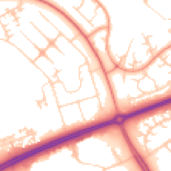
Daytime· 07:00 – 23:00
53.4dB

Night-time· 23:00 – 07:00
42.6dB