1 Abbey Way, Bradville, Milton Keynes, MK13 7AN
About 1 Abbey Way
1 Abbey Way is a property in Bradville, Milton Keynes, Milton Keynes (MK13 7AN). It has council tax band C.
One planning record on file: an extension approved in 2015. Past consents include an extension, meaningful when judging how the property has evolved.
Energy performance
No EPC on record
This property doesn't have an Energy Performance Certificate yet. An EPC is required to sell or let — and unlocks our automated valuation.
Planning history
1 Abbey Way has an approved single-storey front extension on the planning record.
- Feb 2015ExtensionFullIn report
Extension: Single storey · Front of property
Single storey front extension
- Reference
- 14/02837/FUL
Sales history & valuation
No sales recorded with HM Land Registry
That can mean the property has never traded since the registry began publishing in 1995, was a new build that hasn't been registered yet, or is held in the same hands long-term.
Median price across the last 5 sales in MK13 7AN: £215,000 (2024–2007).
Similar properties nearby
1 Abbots Close, Bradville
MK13 7EN
1 Aldergill, Heelands
MK13 7PT
1 Althorpe Crescent, Bradville
MK13 7AS
1 Amos Court, Bradville
MK13 7JL
1 Arncliffe Drive, Heelands
MK13 7PQ
1 Berry Court, Bradville
MK13 7EY
1 Bishopstone, Bradville
MK13 7DQ
1 Bleasdale, Heelands
MK13 7NA
The neighbourhood at a glance
Crime
4/mo
Steady year-on-year across the wider district.
Nearest stop
0.1 km
Abbey Way — bus stop.
Closest school
0.5 km
Pepper Hill School. 27 schools nearby.
Road noise across the postcode
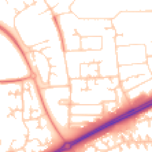
Daytime· 07:00 – 23:00
52.5dB

Night-time· 23:00 – 07:00
41.5dB