6 Kenchester, Bancroft, Milton Keynes, MK13 0QP
About 6 Kenchester
6 Kenchester is a detached house in Bancroft, Milton Keynes, Milton Keynes (MK13 0QP). It has a recorded floor area of 82 m² (around 883 sq ft), construction records dating it to 1967-1975 and council tax band E. The latest certificate (August 2013) shows an E (score 52), well below the UK norm with real room to improve. The recommended improvements would lift it to B (score 81), a 3-band jump. The latest certificate is from August 2013, so improvements made since then won't be reflected.
At 82 m² it's 15.5% smaller than the typical home in the postcode (97 m² median across 13 EPCs). On energy efficiency it sits in the bottom 10% of properties in this postcode — significant headroom for improvement. Last sold in April 2014, so it's been off the market for around 12 years. Across 1996–2014, sale prices on this property compounded at 7.3% per year. Today's modelled estimate of £412,000 is 49.8% above the 2014 sale price.
Everything you need to know about 6 Kenchester
The true value, the hidden risks and the full sale history, in one report.
30-day money-back guarantee

The data behind every report


Energy performance
6 Kenchester sits at the bottom of the postcode for energy efficiency — meaningful headroom to improve.
EPC Expired
This certificate is over 10 years old and is no longer valid.Expired 19 Aug 2023
EPC Rating
Planning history
6 Kenchester has no planning applications on record.
Notable planning nearby
2applications of note in the surrounding area
Sales history & valuation
6 Kenchester has more than tripled in price since its earliest registered sale in 1996.
£412,000
Modelled from EPC, postcode comparables and a sale-price growth of 7.3% per year over 18 years.
£275,000
Growth on file: 7.3% per year over 18 years.
Sales timeline
29 April 2014Most recent
£275,000
+205.7%over 16 years28 August 1997
£89,950
+13.5%over 1 year22 August 1996
£79,250
Median price across the last 5 sales in MK13 0QP: £400,000 (2025–2019).
Nearby sales in MK13 0QP
10 Kenchester, Bancroft, Milton Keynes, MK13 0QP
Sold Mar 2025
£415,00015 Kenchester, Bancroft, Milton Keynes, MK13 0QP
Sold Mar 2025
£425,00023 Kenchester, Bancroft, Milton Keynes, MK13 0QP
Sold Sept 2019
£370,00024 Kenchester, Bancroft, Milton Keynes, MK13 0QP
Sold Apr 2019
£310,00016 Kenchester, Bancroft, Milton Keynes, MK13 0QP
Sold Jul 2017
£385,000
Versus other Kenchester homes
6 Kenchester is notably below the street on epc rating.
Price per m²
£3,354
Street avg £3,074
Floor Area
82 m²
Street avg 106 m²
Habitable Rooms
4 rooms
Street avg 5 rooms
CO₂ Emissions
4.9 t/year
Street avg 4.0 t/year
Everything you need to know about 6 Kenchester
The true value, the hidden risks and the full sale history, in one report.
30-day money-back guarantee
The data behind every report
Similar properties nearby
1 Lullingstone Drive, Bancroft Park
MK13 0RB
1 Bertram Close, New Bradwell
MK13 0DT
1 Gardiner Court, Blue Bridge
MK13 0LR
1 Chipperfield Close, New Bradwell
MK13 0EP
1 Haltonchesters, Bancroft
MK13 0PE
1 Greatchesters, Bancroft
MK13 0PA
1 Kenchester, Bancroft
MK13 0QP
1 Culbertson Lane, Blue Bridge
MK13 0LL
The neighbourhood at a glance
Crime
4/mo
Steady year-on-year across the wider district.
Nearest stop
0.2 km
Colley Hill — bus stop.
Closest school
0.8 km
Bradwell Village School. 28 schools nearby.
Go deeper on the local area
The full report breaks down crime, transport links, schools and air quality in depth.
Road noise across the postcode
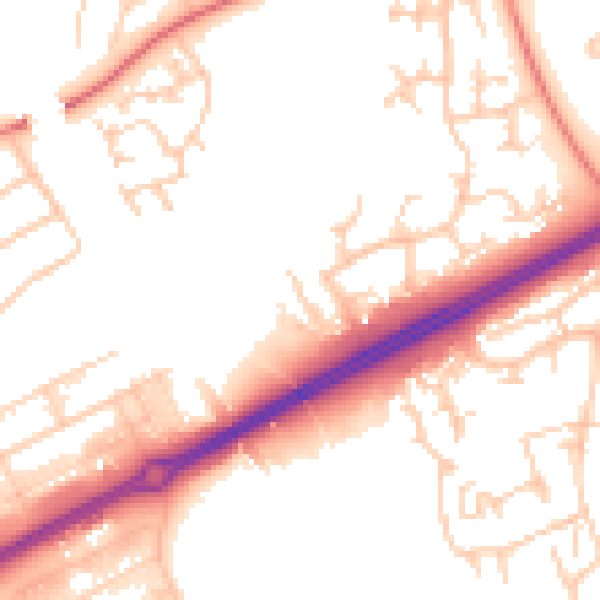
Daytime· 07:00 – 23:00
53.4dB

Night-time· 23:00 – 07:00
43.3dB