14 Broomlee, Bancroft, Milton Keynes, MK13 0PU
About 14 Broomlee
14 Broomlee is a detached house in Bancroft, Milton Keynes, Milton Keynes (MK13 0PU). It has a recorded floor area of 90 m² (around 969 sq ft), construction records dating it to 1983-1990 and council tax band D. The latest certificate (November 2014) shows a D (score 68), on the cusp of jumping into the C band. The recommended improvements would lift it to B (score 86), a 2-band jump. The latest certificate is from November 2014, so improvements made since then won't be reflected.
It hasn't traded since November 1996, a hold of 30 years that's notably long for the area. Only one transfer is on record with HM Land Registry, suggesting it has stayed in the same hands for a long time. Today's modelled estimate of £323,000 sits 421% above the 1996 sale of £62,000. On a £-per-square-foot basis, the last sale (£64/sq ft) was about 79.1% below the postcode norm.
Everything you need to know about 14 Broomlee
The true value, the hidden risks and the full sale history, in one report.
30-day money-back guarantee

The data behind every report


Energy performance
Recommended upgrades on file would lift this property by multiple EPC bands.
EPC Expired
This certificate is over 10 years old and is no longer valid.Expired 12 Nov 2024
EPC Rating
Planning history
14 Broomlee has no planning applications on record.
Notable planning nearby
2applications of note in the surrounding area
Sales history & valuation
Latest sale on 14 Broomlee was the lowest on Land Registry record across the postcode.
£323,000
Modelled from EPC, postcode comparables.
£62,000
Recorded with HM Land Registry.
Sales timeline
15 November 1996Most recent
£62,000
Median price across the last 5 sales in MK13 0PU: £345,000 (2024–2017).
Nearby sales in MK13 0PU
22 Broomlee, Bancroft, Milton Keynes, MK13 0PU
Sold Sept 2024
£330,0004 Broomlee, Bancroft, Milton Keynes, MK13 0PU
Sold Mar 2023
£380,0009 Broomlee, Bancroft, Milton Keynes, MK13 0PU
Sold Aug 2020
£345,00015 Broomlee, Bancroft, Milton Keynes, MK13 0PU
Sold Jun 2020
£350,00010 Broomlee, Bancroft, Milton Keynes, MK13 0PU
Sold Sept 2015
£260,000
Versus other Broomlee homes
On price per m², 14 Broomlee runs well behind the street norm.
Price per m²
£689
Street avg £3,023
Floor Area
90 m²
Street avg 96 m²
Habitable Rooms
5 rooms
Street avg 5 rooms
CO₂ Emissions
3.2 t/year
Street avg 3.9 t/year
Everything you need to know about 14 Broomlee
The true value, the hidden risks and the full sale history, in one report.
30-day money-back guarantee
The data behind every report
Similar properties nearby
1 Bridgeway, New Bradwell
MK13 0ES
1 King Edward Street, New Bradwell
MK13 0BG
1 Haltonchesters, Bancroft
MK13 0PE
1 Leaberry, New Bradwell
MK13 0EU
1 Church Street, New Bradwell
MK13 0DA
1 Harwood Street, New Bradwell
MK13 0EH
1 Bertram Close, New Bradwell
MK13 0DT
1 Glyn Street, New Bradwell
MK13 0DF
The neighbourhood at a glance
Crime
4/mo
Steady year-on-year across the wider district.
Nearest stop
0.1 km
Stonegate — bus stop.
Closest school
0.8 km
Priory Common School. 27 schools nearby.
Go deeper on the local area
The full report breaks down crime, transport links, schools and air quality in depth.
Road noise across the postcode
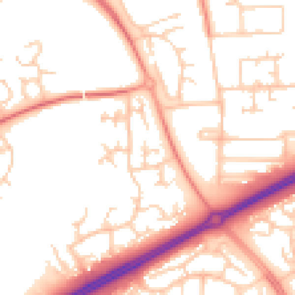
Daytime· 07:00 – 23:00
52.9dB

Night-time· 23:00 – 07:00
42.2dB