11 Broomlee, Bancroft, Milton Keynes, MK13 0PU
About 11 Broomlee
11 Broomlee is a property in Bancroft, Milton Keynes, Milton Keynes (MK13 0PU). It has council tax band D.
Energy performance
No EPC on record
This property doesn't have an Energy Performance Certificate yet. An EPC is required to sell or let — and unlocks our automated valuation.
Planning history
No planning applications are recorded against 11 Broomlee, Bancroft, Milton Keynes, MK13 0PU. The full report also covers planning activity across the surrounding area.
Sales history & valuation
No sales recorded with HM Land Registry
That can mean the property has never traded since the registry began publishing in 1995, was a new build that hasn't been registered yet, or is held in the same hands long-term.
Median price across the last 5 sales in MK13 0PU: £345,000 (2024–2017).
Nearby sales in MK13 0PU
22 Broomlee, Bancroft, Milton Keynes, MK13 0PU
Sold Sept 2024
£330,0004 Broomlee, Bancroft, Milton Keynes, MK13 0PU
Sold Mar 2023
£380,0009 Broomlee, Bancroft, Milton Keynes, MK13 0PU
Sold Aug 2020
£345,00015 Broomlee, Bancroft, Milton Keynes, MK13 0PU
Sold Jun 2020
£350,00010 Broomlee, Bancroft, Milton Keynes, MK13 0PU
Sold Sept 2015
£260,000
Similar properties nearby
1 Benwell Close, Bancroft
MK13 0PR
1 Bertram Close, New Bradwell
MK13 0DT
1 Blackwood Crescent, Blue Bridge
MK13 0LP
1 Bradwell Road, New Bradwell
MK13 0BX
1 Bridge Street, New Bradwell
MK13 0DP
1 Bridgeway, New Bradwell
MK13 0ES
1 Broomlee, Bancroft
MK13 0PU
1 Caesars Close, Bancroft
MK13 0QD
The neighbourhood at a glance
Crime
4/mo
Steady year-on-year across the wider district.
Nearest stop
0.1 km
Stonegate — bus stop.
Closest school
0.8 km
Priory Common School. 27 schools nearby.
Road noise across the postcode
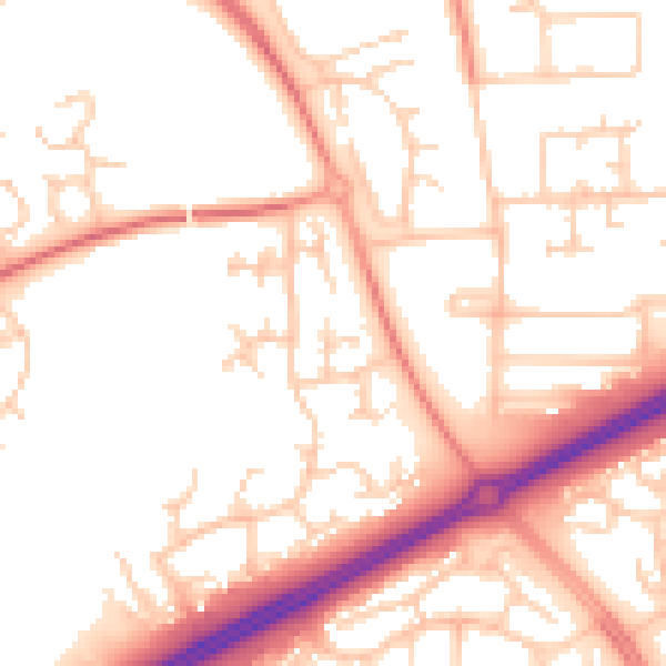
Daytime· 07:00 – 23:00
52.9dB

Night-time· 23:00 – 07:00
42.2dB