2 Hadrians Drive, Bancroft, Milton Keynes, MK13 0PP
About 2 Hadrians Drive
2 Hadrians Drive is a detached house in Bancroft, Milton Keynes, Milton Keynes (MK13 0PP). It has a recorded floor area of 200 m² (around 2150 sq ft), construction records dating it to 1983-1990 and council tax band F. The latest certificate (March 2012) shows a D (score 61), on the cusp of jumping into the C band. The recommended improvements would push it to C (score 69). The latest certificate is from March 2012, so improvements made since then won't be reflected.
Everything you need to know about 2 Hadrians Drive
The true value, the hidden risks and the full sale history, in one report.
30-day money-back guarantee

The data behind every report


Energy performance
2 Hadrians Drive's carbon output runs well above what efficient homes in the postcode produce.
EPC Expired
This certificate is over 10 years old and is no longer valid.Expired 15 Mar 2022
EPC Rating
Planning history
2 Hadrians Drive has no planning applications on record.
Notable planning nearby
2applications of note in the surrounding area
Sales history & valuation
2 Hadrians Drive has no Land Registry sales on file, suggesting it has stayed in the same hands since registration began.
£642,000
Modelled from EPC, postcode comparables.
No sales recorded with HM Land Registry
That can mean the property has never traded since the registry began publishing in 1995, was a new build that hasn't been registered yet, or is held in the same hands long-term.
Median price across the last 5 sales in MK13 0PP: £397,500 (2021–2007).
Versus other Hadrians Drive homes
2 Hadrians Drive outperforms the street on habitable rooms by a wide margin.
EPC Rating
61 (D)
Street avg 47 (E)
Floor Area
200 m²
Street avg 195 m²
CO₂ Emissions
8.2 t/year
Street avg 8.2 t/year
Habitable Rooms
9 rooms
Street avg 8 rooms
Everything you need to know about 2 Hadrians Drive
The true value, the hidden risks and the full sale history, in one report.
30-day money-back guarantee
The data behind every report
Similar properties nearby
1 Guest Gardens, New Bradwell
MK13 0AF
1 Blackwood Crescent, Blue Bridge
MK13 0LP
1 Castlesteads, Bancroft
MK13 0PS
1 Hadrians Drive, Bancroft
MK13 0PJ
1 Culbertson Lane, Blue Bridge
MK13 0LL
1 Kenchester, Bancroft
MK13 0QP
1 Greatchesters, Bancroft
MK13 0PA
1 Chipperfield Close, New Bradwell
MK13 0EP
The neighbourhood at a glance
Crime
4/mo
Steady year-on-year across the wider district.
Nearest stop
0.2 km
Colley Hill — bus stop.
Closest school
0.7 km
Priory Common School. 28 schools nearby.
Go deeper on the local area
The full report breaks down crime, transport links, schools and air quality in depth.
Road noise across the postcode
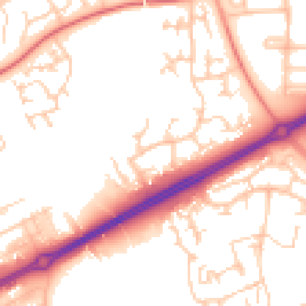
Daytime· 07:00 – 23:00
53.8dB

Night-time· 23:00 – 07:00
43.6dB