46b, St James Street, New Bradwell, Milton Keynes, MK13 0BH
About 46b
46b is a semi-detached house in New Bradwell, Milton Keynes, Milton Keynes (MK13 0BH). It has a recorded floor area of 32 m² (around 344 sq ft), construction records dating it to 1900-1929 and council tax band A. At 32 m² this is the smallest unit on EPC record across the building (32–118 m²). The building's EPC ratings span E to C, with this unit at the top. The latest certificate (January 2019) shows a C (score 69), just inside the C band.
At 32 m² it sits well below the postcode median (93 m² across 6 EPCs), making it one of the more compact homes locally.
Everything you need to know about 46b
The true value, the hidden risks and the full sale history, in one report.
30-day money-back guarantee

The data behind every report


Energy performance
EPC Rating
Planning history
46b has no planning applications on record.
Notable planning nearby
2applications of note in the surrounding area
Sales history & valuation
46b has no Land Registry sales on file, suggesting it has stayed in the same hands since registration began.
£143,000
Modelled from EPC, postcode comparables.
No sales recorded with HM Land Registry
That can mean the property has never traded since the registry began publishing in 1995, was a new build that hasn't been registered yet, or is held in the same hands long-term.
Median price across the last 5 sales in MK13 0BH: £229,995 (2022–2013).
Nearby sales in MK13 0BH
44 St James Street, New Bradwell, Milton Keynes, MK13 0BH
Sold Oct 2022
£265,00038 St James Street, New Bradwell, Milton Keynes, MK13 0BH
Sold Feb 2021
£262,50042 St James Street, New Bradwell, Milton Keynes, MK13 0BH
Sold Dec 2016
£229,99534 St James Street, New Bradwell, Milton Keynes, MK13 0BH
Sold Sept 2013
£145,50036 St James Street, New Bradwell, Milton Keynes, MK13 0BH
Sold Sept 2005
£125,000
Everything you need to know about 46b
The true value, the hidden risks and the full sale history, in one report.
30-day money-back guarantee
The data behind every report
Similar properties nearby
1 Meads Close, New Bradwell
MK13 0EZ
1 Earls Willow, New Bradwell
MK13 0EX
1 Bridge Street, New Bradwell
MK13 0DP
1 Highbury Mews, New Bradwell
MK13 0FX
1 Caledonian Road, New Bradwell
MK13 0AP
1 Glyn Street, New Bradwell
MK13 0DF
1 Harwood Street, New Bradwell
MK13 0EH
1 Church Street, New Bradwell
MK13 0DA
The neighbourhood at a glance
Rail-style transport is unusually close for this postcode.
Crime
4/mo
Steady year-on-year across the wider district.
Nearest stop
0.2 km
St James's Church — bus stop.
Closest school
0.1 km
New Bradwell Primary School. 22 schools nearby.
Go deeper on the local area
The full report breaks down crime, transport links, schools and air quality in depth.
Road noise across the postcode
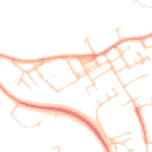
Daytime· 07:00 – 23:00
48.0dB

Night-time· 23:00 – 07:00
37.4dB