6 High Street, Strood, Rochester, ME2 4AP
About 6 High Street
6 High Street is a detached house in Strood, Rochester, Rochester (ME2 4AP). It has a recorded floor area of 82 m² (around 883 sq ft) and construction records dating it to 1950-1966. At 82 m² this is the 2nd smallest of 3 units on EPC record in the building, where floor areas span 70–82 m². The building's EPC ratings span E to D, with this unit at the top. The latest certificate (July 2021) shows a D (score 67), on the cusp of jumping into the C band. When first surveyed in September 2011 the rating was E, the property has climbed 1 band since. Between certificates, wall efficiency went from Poor to Average, roof efficiency went from Very Poor to Average and lighting went from Very Poor to Very Good.
2 planning records sit against the property, 1 approved, 0 refused. Past consents include an extension, partial demolition and subdivision, meaningful when judging how the property has evolved.
Know exactly what you're buying at 6 High Street
Before you offer, see what the listing won't tell you, the true value, the red flags and the full history.
Already flagged here
Valuation
against the asking price
Risks
planning & flood
Sold prices
similar homes nearby
Trends
the local market
Energy performance
EPC Rating
Property Improvements
Changes detected from historical EPC data
Heating controls changed
Windows upgraded, improving insulation
More low energy lighting installed
Heating controls upgraded for better temperature management
Cavity wall insulation installed
Roof insulation improved
More low energy lighting installed
Planning history
Council records show a subdivision application — the property's legal arrangement has been altered.
- Sept 2024SubdivisionFullIn report
Construction of a three storey side extension including additional floor at second floor level over existing unit to provide two flats together with balconies front and rear and associated external alterations - demolition of existing lean-to/outbuilding to side
- Agent
- Cadarch Limited
ExtensionDemolition- Documents
- 8 docs on file
- Reference
- MC/24/1548
- Apr 2024ExtensionFullIn report
Extension: Side of property
Construction of a 2 storey side extension with part commercial and part residential at ground floor with residential at first - Demolition of existing outbuilding to the side
- Agent
- Cadarch Limited
- Documents
- 8 docs on file
- Reference
- MC/24/0064
We flagged 2 things worth checking at 6 High Street
Independent checks surfaced things a buyer would want to understand before offering. The report explains each one in full, with the underlying data and what to ask.
- Signs of HMO activity in the area
- Environmental risk flagged
30-day money-back guarantee
Sales history & valuation
6 High Street has no Land Registry sales on file, suggesting it has stayed in the same hands since registration began.
£242,000
Modelled from EPC, postcode comparables.
No sales recorded with HM Land Registry
That can mean the property has never traded since the registry began publishing in 1995, was a new build that hasn't been registered yet, or is held in the same hands long-term.
Median price across the last 5 sales in ME2 4AP: £130,000 (2020–2004).
Nearby sales in ME2 4AP
24a, High Street, Strood, Rochester, ME2 4AP
Sold Jul 2020
£176,0006a, High Street, Strood, Rochester, ME2 4AP
Sold Jan 2020
£50022a, High Street, Strood, Rochester, ME2 4AP
Sold Aug 2010
£76,66614a, High Street, Strood, Rochester, ME2 4AP
Sold Jan 2008
£130,00012a, High Street, Strood, Rochester, ME2 4AP
Sold Oct 2004
£151,250
Everything we know about 6 High Street, in one report
What it's really worth, what could be wrong, and the planning, sales and area data in full.
What we flagged
- Signs of HMO activity in the area
- Environmental risk flagged

Similar properties nearby
1 Burgess Road
ME2 4DE
1 Florence Street
ME2 4SX
1 Bingham Road
ME2 4JL
1 Evelyn Close, Strood
ME2 4EY
1 Castle Point, Ordnance Yard, Upnor Road, Lower Upnor
ME2 4WX
1 Admiralty Road, Upnor
ME2 4XY
1 Frindsbury Road
ME2 4TA
1 Cranmere Court, Strood
ME2 4SF
The neighbourhood at a glance
Rail-style transport is unusually close for this postcode.
Crime
3/mo
Steady year-on-year across the wider district.
Nearest stop
0.1 km
Canal Road — bus stop.
Closest school
0.5 km
All Faiths Children's Academy. 31 schools nearby.
Go deeper on the local area
The full report breaks down crime, transport links, schools and air quality in depth.
Road noise across the postcode
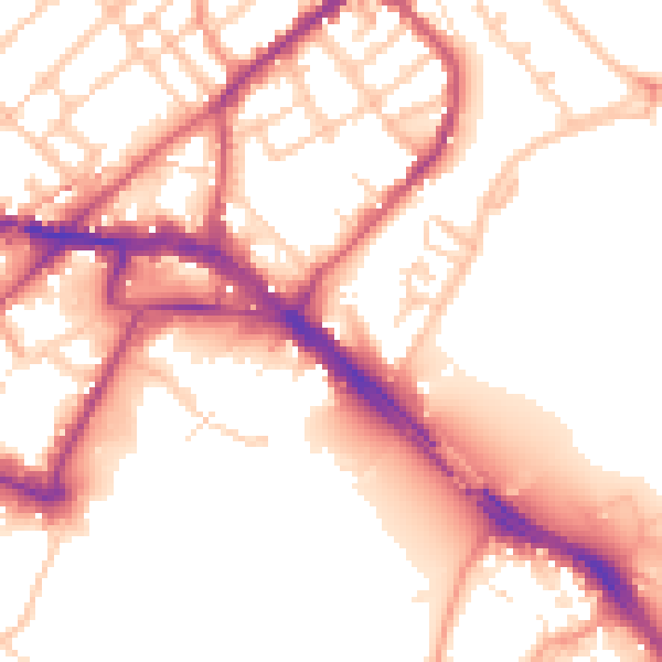
Daytime· 07:00 – 23:00
55.2dB

Night-time· 23:00 – 07:00
46.8dB