Flat 2, 109 High Street, Sheerness, ME12 1UD
About Flat 2
Flat 2 is a property in Sheerness (ME12 1UD). It has a recorded floor area of 37 m² (around 398 sq ft) and construction records dating it to before 1900. The latest certificate (February 2026) shows a D (score 57), a step below the typical UK home. The recommended improvements would push it to C (score 79). Main heating runs on electricity. This certificate was lodged in the last six months, so the rating reflects current condition.
Everything you need to know about Flat 2
The true value, the hidden risks and the full sale history, in one report.
30-day money-back guarantee

The data behind every report


Energy performance
Flat 2's carbon output is low for the local stock.
EPC Rating
Planning history
Flat 2 has no planning applications on record.
Notable planning nearby
5applications of note in the surrounding area
We flagged 1 thing worth checking at Flat 2
Independent checks surfaced things a buyer would want to understand before offering. The report explains each one in full, with the underlying data and what to ask.
- Larger development activity nearby
30-day money-back guarantee
Sales history & valuation
Flat 2 has no Land Registry sales on file, suggesting it has stayed in the same hands since registration began.
No sales recorded with HM Land Registry
That can mean the property has never traded since the registry began publishing in 1995, was a new build that hasn't been registered yet, or is held in the same hands long-term.
Median price across the last 2 sales in ME12 1UD: £162,500 (2018–2008).
Versus other High Street homes
Flat 2 outperforms the street on co₂ emissions by a wide margin.
EPC Rating
57 (D)
Street avg 59 (D)
Floor Area
37 m²
Street avg 39 m²
CO₂ Emissions
0.9 t/year
Street avg 2.8 t/year
Habitable Rooms
3 rooms
Street avg 2 rooms
Everything you need to know about Flat 2
The true value, the hidden risks and the full sale history, in one report.
30-day money-back guarantee
The data behind every report
Similar properties nearby
128 130, Flat, High Street
ME12 1UB
133 135, Flat 1, High Street
ME12 1UD
133 135, Flat 2, High Street
ME12 1UD
133 135, Flat 3, High Street
ME12 1UD
133 135, Flat 4, High Street
ME12 1UD
143 Transport Park, Suite 10a, Sheerness Docks
ME12 1RS
199 201, Flat 1, High Street
ME12 1UJ
231 235, Flat 1, High Street
ME12 1UR
The neighbourhood at a glance
Rail-style transport is unusually close for this postcode.
Crime
4/mo
Steady year-on-year across the wider district.
Nearest stop
0.0 km
High Street East End — bus stop.
Closest school
0.2 km
Rose Street Primary School. 8 schools nearby.
Go deeper on the local area
The full report breaks down crime, transport links, schools and air quality in depth.
Road noise across the postcode
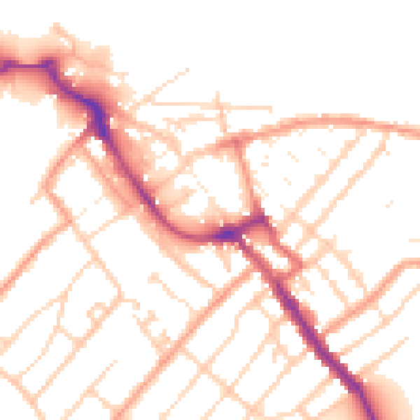
Daytime· 07:00 – 23:00
52.1dB

Night-time· 23:00 – 07:00
41.5dB