10 Rupert Street, Radcliffe, Manchester, M26 1AZ
About 10 Rupert Street
10 Rupert Street is a mid-terrace house in Radcliffe, Manchester, Manchester (M26 1AZ). It has a recorded floor area of 89 m² (around 958 sq ft), construction records dating it to before 1900 and council tax band A. The latest certificate (January 2017) shows an E (score 50), well below the UK norm with real room to improve. Earlier certificates rated it D (April 2013); the latest reading is one band lower. Between certificates, lighting dropped from Very Good to Poor. The recommended improvements would lift it to B (score 83), a 3-band jump.
At 89 m² it's 25.4% larger than the typical home in the postcode (71 m² median across 28 EPCs). It lags the bulk of the postcode on energy efficiency (less efficient than 86% of similar EPCs). Today's modelled estimate of £132,000 is 32% above the 2021 sale price. On a £-per-square-foot basis, the last sale (£104/sq ft) was about 23.2% above the typical sold price in the postcode. Sold September 2021 for £99,999. That sale was during the post-pandemic price surge, when transactions cleared materially above pre-2020 trend.
Know exactly what you're buying at 10 Rupert Street
Before you offer, see what the listing won't tell you, the true value, the red flags and the full history.
Already flagged here
Valuation
against the asking price
Risks
planning & flood
Sold prices
similar homes nearby
Trends
the local market
Energy performance
10 Rupert Street's carbon output runs well above what efficient homes in the postcode produce.
EPC Rating
Planning history
10 Rupert Street has no planning applications on record.
Notable planning nearby
2applications of note in the surrounding area
We flagged 1 thing worth checking at 10 Rupert Street
Independent checks surfaced things a buyer would want to understand before offering. The report explains each one in full, with the underlying data and what to ask.
- Larger development activity nearby
30-day money-back guarantee
Sales history & valuation
The latest sale landed in the post-pandemic price surge — useful context when reading the figure.
£132,000
Modelled from EPC, postcode comparables.
£99,999
Recorded with HM Land Registry.
Sales timeline
23 September 2021Most recent
£99,999
Median price across the last 5 sales in M26 1AZ: £125,000 (2025–2024).
Nearby sales in M26 1AZ
14 Rupert Street, Radcliffe, Manchester, M26 1AZ
Sold Aug 2025
£128,00038 Rupert Street, Radcliffe, Manchester, M26 1AZ
Sold Aug 2024
£50,00046 Rupert Street, Radcliffe, Manchester, M26 1AZ
Sold Jul 2024
£152,00048 Rupert Street, Radcliffe, Manchester, M26 1AZ
Sold Jun 2024
£125,00042 Rupert Street, Radcliffe, Manchester, M26 1AZ
Sold Mar 2024
£80,000
Everything we know about 10 Rupert Street, in one report
What it's really worth, what could be wrong, and the planning, sales and area data in full.
What we flagged
- Larger development activity nearby

Versus other Rupert Street homes
On co₂ emissions, 10 Rupert Street runs well behind the street norm.
Price per m²
£1,124
Street avg £1,158
Floor Area
89 m²
Street avg 77 m²
Habitable Rooms
5 rooms
Street avg 4 rooms
CO₂ Emissions
6.0 t/year
Street avg 3.7 t/year
Similar properties nearby
1 Churchbeck Chase, Radcliffe
M26 1RG
1 Crompton Road, Radcliffe
M26 1HL
1 Bank Street, Radcliffe
M26 1NE
1 Chapelfield, Radcliffe
M26 1JF
1 Church Road, Radcliffe
M26 1HJ
1 Brathey Place, Radcliffe
M26 1RP
1 Beechfield Avenue, Radcliffe
M26 1FN
1 Crompton Close, Radcliffe
M26 1BU
The neighbourhood at a glance
Rail-style transport is unusually close for this postcode.
Nearest stop
0.1 km
James Street — bus stop.
Closest school
0.1 km
St John's Church of England Primary School, Radcliffe. 21 schools nearby.
Go deeper on the local area
The full report breaks down crime, transport links, schools and air quality in depth.
Road noise across the postcode
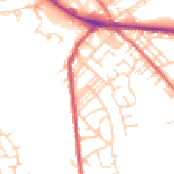
Daytime· 07:00 – 23:00
49.7dB

Night-time· 23:00 – 07:00
40.5dB