2 Hawsworth Close, Manchester, M15 6GF
About 2 Hawsworth Close
2 Hawsworth Close is a semi-detached house in Manchester (M15 6GF). It has a recorded floor area of 83 m² (around 893 sq ft), construction records dating it to 1967-1975 and council tax band A. The latest certificate (July 2017) shows an E (score 49), well below the UK norm with real room to improve. The recommended improvements would lift it to B (score 81), a 3-band jump.
Untraded for 24 years, with the last transfer in June 2002. At 83 m² the property is well over the postcode median (63 m² across 14 EPCs), placing it in the larger end of the local stock. On energy efficiency it sits in the bottom 10% of properties in this postcode — significant headroom for improvement. Today's modelled estimate of £193,000 sits 874.7% above the 2002 sale of £19,800. On a £-per-square-foot basis, the last sale (£22/sq ft) was about 81.5% below the postcode norm.
Everything you need to know about 2 Hawsworth Close
The true value, the hidden risks and the full sale history, in one report.
30-day money-back guarantee

The data behind every report


Energy performance
2 Hawsworth Close sits at the bottom of the postcode for energy efficiency — meaningful headroom to improve.
EPC Rating
Planning history
2 Hawsworth Close has no planning applications on record.
Notable planning nearby
3applications of note in the surrounding area
Sales history & valuation
2 Hawsworth Close's modelled value sits at over four times its earliest registered sale price (2002).
£193,000
Modelled from EPC, postcode comparables.
£19,800
Recorded with HM Land Registry.
Sales timeline
30 June 2002Most recent
£19,800
Median price across the last 3 sales in M15 6GF: £82,500 (2016–2007).
Nearby sales in M15 6GF
Versus other Hawsworth Close homes
On epc rating, 2 Hawsworth Close runs well behind the street norm.
EPC Rating
49 (E)
Street avg 75 (C)
Floor Area
83 m²
Street avg 88 m²
CO₂ Emissions
5.5 t/year
Street avg 2.3 t/year
Habitable Rooms
4 rooms
Street avg 4 rooms
Everything you need to know about 2 Hawsworth Close
The true value, the hidden risks and the full sale history, in one report.
30-day money-back guarantee
The data behind every report
Similar properties nearby
The neighbourhood at a glance
Crime
1/mo
Steady year-on-year across the wider district.
Nearest stop
0.1 km
Science Park — bus stop.
Closest school
0.2 km
Holy Name Roman Catholic Primary School Manchester. 46 schools nearby.
Go deeper on the local area
The full report breaks down crime, transport links, schools and air quality in depth.
Road noise across the postcode
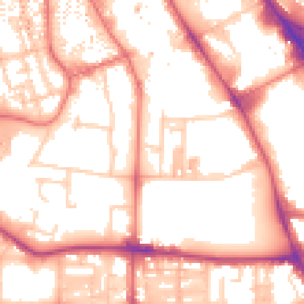
Daytime· 07:00 – 23:00
55.4dB

Night-time· 23:00 – 07:00
45.4dB