Flat 6, 21 Mallow Street, Manchester, M15 5GE
About Flat 6
Flat 6 is a two-bedroom mid-terrace house in Manchester (M15 5GE). It has a recorded floor area of 68 m² (around 732 sq ft), construction records dating it to 2003-2006 and council tax band B. At 68 m² this is the 4th smallest of 5 units on EPC record in the building, where floor areas span 66–88 m². The building's EPC ratings span E to C, with this unit at the top. Other recorded features include a balcony. The latest certificate (April 2016) shows a C (score 70). Main heating runs on electricity. The latest certificate is from April 2016, so improvements made since then won't be reflected.
It hasn't traded since October 2003, a hold of 23 years that's notably long for the area. Across 2000–2003, sale prices on this property compounded at 20.1% per year. Today's modelled estimate of £159,000 sits 59% above the 2003 sale of £100,000. On a £-per-square-foot basis, the last sale (£137/sq ft) was about 15.9% above the typical sold price in the postcode.
What this property has
Inside
- Bedrooms2
- Bathrooms1
- Open-plan layoutYes
Outside
- BalconyYes
Everything you need to know about Flat 6
The true value, the hidden risks and the full sale history, in one report.
30-day money-back guarantee

The data behind every report


Energy performance
EPC Expired
This certificate is over 10 years old and is no longer valid.Expired 03 Apr 2026
EPC Rating
Planning history
Flat 6 has no planning applications on record.
The full report still covers planning activity across the surrounding area.
Sales history & valuation
Flat 6 valuation sits well clear of the typical sold price in this postcode.
£159,000
Modelled from EPC, postcode comparables and a sale-price growth of 20.1% per year over 3 years.
£100,000
Growth on file: 20.1% per year over 3 years.
Sales timeline
16 October 2003Most recent
£100,000
+80.5%over 3 years27 July 2000
£55,400
Median price across the last 5 sales in M15 5GE: £160,000 (2025–2017).
Nearby sales in M15 5GE
Flat 4, 21 Mallow Street, Manchester, M15 5GE
Sold Mar 2025
£155,00015 Mallow Street, Manchester, M15 5GE
Sold Oct 2024
£300,00017 Mallow Street, Manchester, M15 5GE
Sold Nov 2022
£220,000Flat 5, 21 Mallow Street, Manchester, M15 5GE
Sold Jun 2017
£120,000Flat 3, 21 Mallow Street, Manchester, M15 5GE
Sold Mar 2017
£160,000
Versus other Mallow Street homes
On floor area, Flat 6 stands well clear of the street.
Price per m²
£1,471
Street avg £1,707
Floor Area
68 m²
Street avg 66 m²
Habitable Rooms
3 rooms
Street avg 3 rooms
CO₂ Emissions
2.6 t/year
Street avg 2.8 t/year
Everything you need to know about Flat 6
The true value, the hidden risks and the full sale history, in one report.
30-day money-back guarantee
The data behind every report
Similar properties nearby
Apartment 1, 19 Royce Road
M15 5JQ
Apartment 1, 2 Old Birley Street
M15 5RG
19a, Flat 4, Mallow Street
M15 5GE
19a, Flat 3, Mallow Street
M15 5GE
19a, Flat 2, Mallow Street
M15 5GE
19a, Flat 1, Mallow Street
M15 5GE
19a, Flat 5, Mallow Street
M15 5GE
2b, Apartment 2, Old Birley Street
M15 5RG
The neighbourhood at a glance
Crime
1/mo
Steady year-on-year across the wider district.
Nearest stop
0.1 km
St Wilfrid's — bus stop.
Closest school
0.3 km
St Wilfrid's RC Primary School. 45 schools nearby.
Go deeper on the local area
The full report breaks down crime, transport links, schools and air quality in depth.
Road noise across the postcode
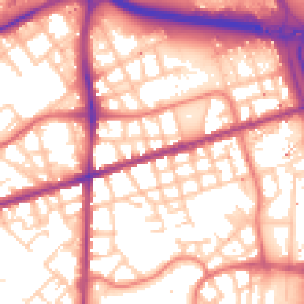
Daytime· 07:00 – 23:00
57.6dB

Night-time· 23:00 – 07:00
48.1dB