7 Townfield Walk, Manchester, M15 4DH
About 7 Townfield Walk
7 Townfield Walk is a mid-terrace house in Manchester (M15 4DH). It has a recorded floor area of 90 m² (around 969 sq ft), construction records dating it to 1967-1975 and council tax band A. The latest certificate (December 2025) shows a C (score 70). The rating has held steady at C across 2 certificates since September 2021. Between certificates, wall efficiency went from Average to Good and roof efficiency went from Good to Very Good; while window efficiency dropped from Good to Average and lighting dropped from Good to Average. This certificate was lodged in the last six months, so the rating reflects current condition.
Its energy rating outperforms most of the postcode (better than 71% of similar EPCs).
Everything you need to know about 7 Townfield Walk
The true value, the hidden risks and the full sale history, in one report.
30-day money-back guarantee

The data behind every report


Energy performance
The EPC has just been inspected, so the rating reflects current condition.
EPC Rating
Property Improvements
Changes detected from historical EPC data
Wall insulation improved
Roof insulation improved
More low energy lighting installed
Planning history
7 Townfield Walk has no planning applications on record.
Notable planning nearby
3applications of note in the surrounding area
We flagged 1 thing worth checking at 7 Townfield Walk
Independent checks surfaced things a buyer would want to understand before offering. The report explains each one in full, with the underlying data and what to ask.
- Larger development activity nearby
30-day money-back guarantee
Sales history & valuation
7 Townfield Walk has no Land Registry sales on file, suggesting it has stayed in the same hands since registration began.
£189,000
Modelled from EPC, postcode comparables.
No sales recorded with HM Land Registry
That can mean the property has never traded since the registry began publishing in 1995, was a new build that hasn't been registered yet, or is held in the same hands long-term.
Median price across the last 3 sales in M15 4DH: £40,000 (2014–1999).
Versus other Townfield Walk homes
7 Townfield Walk outperforms the street on co₂ emissions by a wide margin.
EPC Rating
70 (C)
Street avg 62 (D)
Floor Area
90 m²
Street avg 95 m²
CO₂ Emissions
2.5 t/year
Street avg 4.3 t/year
Habitable Rooms
5 rooms
Street avg 6 rooms
Everything you need to know about 7 Townfield Walk
The true value, the hidden risks and the full sale history, in one report.
30-day money-back guarantee
The data behind every report
Similar properties nearby
The neighbourhood at a glance
Rail-style transport is unusually close for this postcode.
Crime
1/mo
Steady year-on-year across the wider district.
Nearest stop
0.0 km
Shawgreen Close — bus stop.
Closest school
0.4 km
St Wilfrid's RC Primary School. 44 schools nearby.
Go deeper on the local area
The full report breaks down crime, transport links, schools and air quality in depth.
Road noise across the postcode
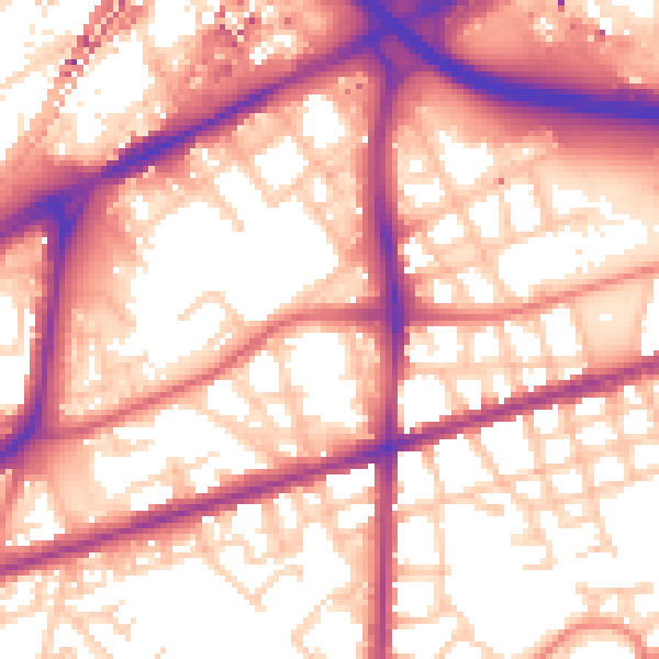
Daytime· 07:00 – 23:00
58.0dB

Night-time· 23:00 – 07:00
49.0dB