3 Bank Avenue, Dunstable, LU6 1FR
About 3 Bank Avenue
3 Bank Avenue is a two-bedroom detached house in Dunstable (LU6 1FR). It has a recorded floor area of 54 m² (around 581 sq ft). At 54 m² this is the smallest unit on EPC record across the building (54–124 m²). The building's EPC ratings span C to B, with this unit at the top. The latest certificate (May 2016) returns a B (score 82), comfortably above the UK average. The latest certificate is from May 2016, so improvements made since then won't be reflected.
At 54 m² it sits well below the postcode median (110 m² across 48 EPCs), making it one of the more compact homes locally. On a £-per-square-foot basis, the last sale (£344/sq ft) was about 18.1% above the typical sold price in the postcode. Sold August 2018 for £200,000.
What this property has
Inside
- Bedrooms2
- Bathrooms1
- Open-plan layoutYes
- Dining roomYes
Outside
- GarageYes
Building
- RefurbishedYes
Everything you need to know about 3 Bank Avenue
The true value, the hidden risks and the full sale history, in one report.
30-day money-back guarantee

The data behind every report


Energy performance
3 Bank Avenue's carbon output is low for the local stock.
EPC Expired
This certificate is over 10 years old and is no longer valid.Expired 18 May 2026
EPC Rating
Planning history
3 Bank Avenue has no planning applications on record.
Notable planning nearby
7applications of note in the surrounding area
We flagged 2 things worth checking at 3 Bank Avenue
Independent checks surfaced things a buyer would want to understand before offering. The report explains each one in full, with the underlying data and what to ask.
- Signs of HMO activity in the area
- Larger development activity nearby
30-day money-back guarantee
Sales history & valuation
3 Bank Avenue valuation runs notably under the typical sold price in this postcode.
£212,000
Modelled from EPC, postcode comparables and a sale-price growth of 0.1% per year over 2 years.
£200,000
Growth on file: 0.1% per year over 2 years.
Sales timeline
23 August 2018Most recent
£200,000
16 June 2016
£199,500
Median price across the last 5 sales in LU6 1FR: £340,000 (2025–2022).
Versus other Bank Avenue homes
3 Bank Avenue outperforms the street on price per m² by a wide margin.
Price per m²
£3,704
Street avg £3,360
Floor Area
54 m²
Street avg 61 m²
CO₂ Emissions
1.1 t/year
Street avg 1.1 t/year
Years Held
8 years
Street avg 8 years
Everything you need to know about 3 Bank Avenue
The true value, the hidden risks and the full sale history, in one report.
30-day money-back guarantee
The data behind every report
Similar properties nearby
1 Bank Avenue
LU6 1FR
1 Catchacre
LU6 1QD
1 Brook Close
LU6 1HD
1 Beecroft Way
LU6 1ED
1 Aynscombe Close
LU6 1FA
1 Albion Mews, Albion Street
LU6 1SH
1 Benning Avenue
LU6 1PH
1 Church Green, Totternhoe
LU6 1RF
The neighbourhood at a glance
Daytime road noise here sits well below conversation level — a quiet pocket of the postcode.
Crime
3/mo
Steady year-on-year across the wider district.
Nearest stop
0.0 km
Bank Avenue Hail + Ride — bus stop.
Closest school
0.8 km
All Saints Academy Dunstable. 19 schools nearby.
Go deeper on the local area
The full report breaks down crime, transport links, schools and air quality in depth.
Road noise across the postcode
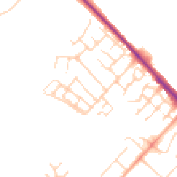
Daytime· 07:00 – 23:00
46.1dB

Night-time· 23:00 – 07:00
37.8dB