29 Westfield Road, Dunstable, LU6 1DN
About 29 Westfield Road
29 Westfield Road is a two-bedroom end-of-terrace house in Dunstable (LU6 1DN). It has a recorded floor area of 66 m² (around 710 sq ft), construction records dating it to 1930-1949 and council tax band B. The latest certificate (November 2013) shows a D (score 62), on the cusp of jumping into the C band. The recommended improvements would lift it to B (score 83), a 2-band jump. The latest certificate is from November 2013, so improvements made since then won't be reflected. Other recorded features include outbuildings.
On a £-per-square-foot basis, the last sale (£415/sq ft) was about 99.4% above the typical sold price in the postcode. Most recent transfer: September 2022 at £295,000. That sale was during the post-pandemic price surge, when transactions cleared materially above pre-2020 trend.
What this property has
Inside
- Bedrooms2
- Bathrooms1
- Dining roomYes
- Utility roomYes
- EnsuiteYes
Outside
- Private gardenWest-facing
- GarageYes
- OutbuildingsYes
Everything you need to know about 29 Westfield Road
The true value, the hidden risks and the full sale history, in one report.
30-day money-back guarantee

The data behind every report


Energy performance
Recommended upgrades on file would lift this property by multiple EPC bands.
EPC Expired
This certificate is over 10 years old and is no longer valid.Expired 22 Nov 2023
EPC Rating
Planning history
29 Westfield Road has no planning applications on record.
Notable planning nearby
7applications of note in the surrounding area
We flagged 2 things worth checking at 29 Westfield Road
Independent checks surfaced things a buyer would want to understand before offering. The report explains each one in full, with the underlying data and what to ask.
- Signs of HMO activity in the area
- Larger development activity nearby
30-day money-back guarantee
Sales history & valuation
The latest sale landed in the post-pandemic price surge — useful context when reading the figure.
£302,000
Modelled from EPC, postcode comparables.
£295,000
Recorded with HM Land Registry.
Sales timeline
8 September 2022Most recent
£295,000
Median price across the last 5 sales in LU6 1DN: £270,000 (2025–2023).
Nearby sales in LU6 1DN
Versus other Westfield Road homes
Price per m² for 29 Westfield Road runs comfortably ahead of the street norm.
Price per m²
£4,470
Street avg £3,084
Floor Area
66 m²
Street avg 75 m²
Habitable Rooms
4 rooms
Street avg 4 rooms
CO₂ Emissions
3.0 t/year
Street avg 4.0 t/year
Everything you need to know about 29 Westfield Road
The true value, the hidden risks and the full sale history, in one report.
30-day money-back guarantee
The data behind every report
Similar properties nearby
1 Brook Close
LU6 1HD
1 Beecroft Way
LU6 1ED
1 Catchacre
LU6 1QD
1 Bank Avenue
LU6 1FR
1 Benning Avenue
LU6 1PH
1 Church Green, Totternhoe
LU6 1RF
1 Albion Mews, Albion Street
LU6 1SH
1 Barley Brow
LU6 1UJ
The neighbourhood at a glance
Crime
3/mo
Steady year-on-year across the wider district.
Nearest stop
0.2 km
Loring Road — bus stop.
Closest school
0.6 km
All Saints Academy Dunstable. 22 schools nearby.
Go deeper on the local area
The full report breaks down crime, transport links, schools and air quality in depth.
Road noise across the postcode
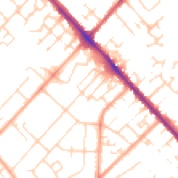
Daytime· 07:00 – 23:00
50.6dB

Night-time· 23:00 – 07:00
40.0dB