18 Vauxhall Way, Dunstable, LU6 1BF
About 18 Vauxhall Way
18 Vauxhall Way is a two-bedroom mid-terrace house in Dunstable (LU6 1BF). It has a recorded floor area of 103 m² (around 1109 sq ft) and council tax band C. The latest certificate (February 2014) returns a high B (score 85), putting the home a stone's throw from an A rating. The latest certificate is from February 2014, so improvements made since then won't be reflected. Other recorded features include outbuildings.
At 103 m² the property is well over the postcode median (66 m² across 71 EPCs), placing it in the larger end of the local stock. Today's modelled estimate of £335,000 is 41.1% above the 2014 sale price. On a £-per-square-foot basis, the last sale (£214/sq ft) was about 19.5% below the postcode norm. Last sold in February 2014, so it's been off the market for around 12 years.
What this property has
Inside
- Bedrooms2
- Bathrooms1
- Open-plan layoutYes
Outside
- GarageYes
- OutbuildingsYes
Building
- RefurbishedYes
Everything you need to know about 18 Vauxhall Way
The true value, the hidden risks and the full sale history, in one report.
30-day money-back guarantee

The data behind every report


Energy performance
18 Vauxhall Way's carbon output is low for the local stock.
EPC Expired
This certificate is over 10 years old and is no longer valid.Expired 10 Feb 2024
EPC Rating
Planning history
18 Vauxhall Way has no planning applications on record.
Notable planning nearby
7applications of note in the surrounding area
We flagged 2 things worth checking at 18 Vauxhall Way
Independent checks surfaced things a buyer would want to understand before offering. The report explains each one in full, with the underlying data and what to ask.
- Signs of HMO activity in the area
- Larger development activity nearby
30-day money-back guarantee
Sales history & valuation
18 Vauxhall Way valuation sits well clear of the typical sold price in this postcode.
£335,000
Modelled from EPC, postcode comparables.
£237,500
Recorded with HM Land Registry.
Sales timeline
18 February 2014Most recent
£237,500
Median price across the last 5 sales in LU6 1BF: £330,000 (2025–2023).
Nearby sales in LU6 1BF
Versus other Vauxhall Way homes
18 Vauxhall Way is notably below the street on price per m².
Price per m²
£2,306
Street avg £3,283
Floor Area
103 m²
Street avg 80 m²
CO₂ Emissions
1.4 t/year
Street avg 1.6 t/year
Years Held
12 years
Street avg 8 years
Everything you need to know about 18 Vauxhall Way
The true value, the hidden risks and the full sale history, in one report.
30-day money-back guarantee
The data behind every report
Similar properties nearby
The neighbourhood at a glance
Daytime road noise here sits well below conversation level — a quiet pocket of the postcode.
Crime
3/mo
Steady year-on-year across the wider district.
Nearest stop
0.2 km
Watling Court — bus stop.
Closest school
0.5 km
All Saints Academy Dunstable. 21 schools nearby.
Go deeper on the local area
The full report breaks down crime, transport links, schools and air quality in depth.
Road noise across the postcode
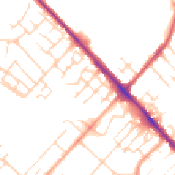
Daytime· 07:00 – 23:00
49.4dB

Night-time· 23:00 – 07:00
39.9dB