15 Vauxhall Way, Dunstable, LU6 1BF
About 15 Vauxhall Way
15 Vauxhall Way is a two-bedroom mid-terrace house in Dunstable (LU6 1BF). It has a recorded floor area of 57 m² (around 614 sq ft), construction records dating it to 2007-2011 and council tax band B. Tenure is freehold. At 57 m² this is the 9th smallest of 72 units on EPC record in the building, where floor areas span 46–112 m². The building's EPC ratings span C to B, with this unit at the bottom. The latest certificate (August 2025) shows a C (score 78), near the top of the C band. Earlier certificates rated it B (April 2011); the latest reading is one band lower. Between certificates, wall efficiency dropped from Very Good to Good and window efficiency dropped from Very Good to Average.
Today's modelled estimate of £214,000 sits 52.9% above the 2011 sale of £139,950. 14 years since the last transfer (December 2011). At 57 m² it's 18.6% smaller than the typical home in the postcode (70 m² median across 71 EPCs).
What this property has
Inside
- Bedrooms2
- Bathrooms2
- EnsuiteYes
Outside
- Communal gardenYes
- ParkingYes
Building
- TenureFreehold
- RefurbishedYes
Everything you need to know about 15 Vauxhall Way
The true value, the hidden risks and the full sale history, in one report.
30-day money-back guarantee

The data behind every report


Energy performance
15 Vauxhall Way's carbon output is low for the local stock.
EPC Rating
Planning history
15 Vauxhall Way has no planning applications on record.
Notable planning nearby
7applications of note in the surrounding area
We flagged 2 things worth checking at 15 Vauxhall Way
Independent checks surfaced things a buyer would want to understand before offering. The report explains each one in full, with the underlying data and what to ask.
- Signs of HMO activity in the area
- Larger development activity nearby
30-day money-back guarantee
Sales history & valuation
£214,000
Modelled from EPC, postcode comparables.
£139,950
Recorded with HM Land Registry.
Sales timeline
16 December 2011Most recent
£139,950
Median price across the last 5 sales in LU6 1BF: £330,000 (2025–2023).
Nearby sales in LU6 1BF
Versus other Vauxhall Way homes
15 Vauxhall Way outperforms the street on years held by a wide margin.
Price per m²
£2,455
Street avg £2,945
Floor Area
57 m²
Street avg 58 m²
Habitable Rooms
3 rooms
Street avg 3 rooms
CO₂ Emissions
1.0 t/year
Street avg 1.2 t/year
Everything you need to know about 15 Vauxhall Way
The true value, the hidden risks and the full sale history, in one report.
30-day money-back guarantee
The data behind every report
Similar properties nearby
1 Bank Avenue
LU6 1FR
1 Catchacre
LU6 1QD
1 Brook Close
LU6 1HD
1 Beecroft Way
LU6 1ED
1 Aynscombe Close
LU6 1FA
1 Albion Mews, Albion Street
LU6 1SH
1 Benning Avenue
LU6 1PH
1 Church Green, Totternhoe
LU6 1RF
The neighbourhood at a glance
Daytime road noise here sits well below conversation level — a quiet pocket of the postcode.
Crime
3/mo
Steady year-on-year across the wider district.
Nearest stop
0.2 km
Watling Court — bus stop.
Closest school
0.5 km
All Saints Academy Dunstable. 21 schools nearby.
Go deeper on the local area
The full report breaks down crime, transport links, schools and air quality in depth.
Road noise across the postcode
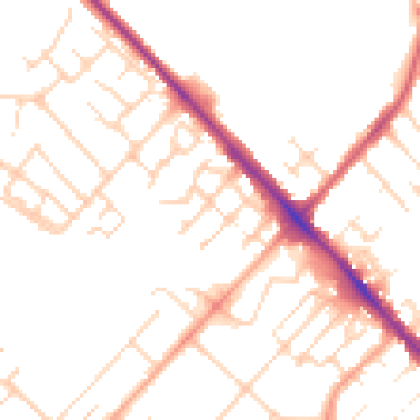
Daytime· 07:00 – 23:00
49.4dB

Night-time· 23:00 – 07:00
39.9dB