47 Cannon Lane, Luton, LU2 8BJ
About 47 Cannon Lane
47 Cannon Lane is a semi-detached house in Luton (LU2 8BJ). It has a recorded floor area of 136 m² (around 1464 sq ft), construction records dating it to 1950-1966 and council tax band D. The latest certificate (October 2016) shows a C (score 73). The recommended improvements would push it to B (score 83).
At 136 m² the property is well over the postcode median (90 m² across 39 EPCs), placing it in the larger end of the local stock. One planning record on file: an extension approved in 2016. Past consents include an extension and a porch, meaningful when judging how the property has evolved. Today's modelled estimate of £576,000 is 23.9% above the 2024 sale price. On a £-per-square-foot basis, the last sale (£318/sq ft) was about 48.6% above the typical sold price in the postcode. Last sale on file: £465,000 in March 2024.
Everything you need to know about 47 Cannon Lane
The true value, the hidden risks and the full sale history, in one report.
30-day money-back guarantee

The data behind every report


Energy performance
EPC Rating
Planning history
- Jan 2016PorchFullIn report
Extension: Two storey · Side and rear of property
Erection of two storey side and rear extensions and a front porch.
Extension- Documents
- 6 docs on file
- Reference
- 15/01682/FUL
What's in 47 Cannon Lane, Luton, LU2 8BJ's planning history?
Refusals, disputes and full decisions on this property and nearby, in the report.
Sales history & valuation
47 Cannon Lane valuation sits well clear of the typical sold price in this postcode.
£576,000
Modelled from EPC, postcode comparables and a sale-price growth of 0.3% per year over 7 years.
£465,000
Growth on file: 0.3% per year over 7 years.
Sales timeline
26 March 2024Most recent
£465,000
+2.2%over 7 years10 March 2017
£455,000
Median price across the last 5 sales in LU2 8BJ: £375,000 (2025–2022).
Versus other Cannon Lane homes
On habitable rooms, 47 Cannon Lane stands well clear of the street.
Price per m²
£3,419
Street avg £2,860
Floor Area
136 m²
Street avg 99 m²
Habitable Rooms
8 rooms
Street avg 5 rooms
CO₂ Emissions
3.9 t/year
Street avg 4.4 t/year
Everything you need to know about 47 Cannon Lane
The true value, the hidden risks and the full sale history, in one report.
30-day money-back guarantee
The data behind every report
Similar properties nearby
The neighbourhood at a glance
Crime
6/mo
Steady year-on-year across the wider district.
Nearest stop
0.1 km
Collingtree — bus stop.
Closest school
0.4 km
Putteridge Primary School. 24 schools nearby.
Go deeper on the local area
The full report breaks down crime, transport links, schools and air quality in depth.
Road noise across the postcode
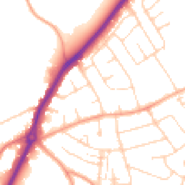
Daytime· 07:00 – 23:00
50.8dB

Night-time· 23:00 – 07:00
41.3dB