15 Bloomfield Avenue, Luton, LU2 0PS
About 15 Bloomfield Avenue
15 Bloomfield Avenue is a three-bedroom semi-detached house in Luton (LU2 0PS). It has a recorded floor area of 97 m² (around 1040 sq ft), construction records dating it to 1950-1966 and council tax band B. The latest certificate (November 2009) shows an E (score 52), well below the UK norm with real room to improve. The recommended improvements would lift it to C (score 76), a 2-band jump. The latest certificate is from November 2009, so improvements made since then won't be reflected.
Untraded for 22 years, with the last transfer in October 2004. At 97 m² it's 15.1% larger than the typical home in the postcode (84 m² median across 15 EPCs). On energy efficiency it sits in the bottom 10% of properties in this postcode — significant headroom for improvement. Today's modelled estimate of £266,000 sits 104.6% above the 2004 sale of £129,995.
What this property has
Inside
- Bedrooms3
Everything you need to know about 15 Bloomfield Avenue
The true value, the hidden risks and the full sale history, in one report.
30-day money-back guarantee

The data behind every report


Energy performance
15 Bloomfield Avenue sits at the bottom of the postcode for energy efficiency — meaningful headroom to improve.
EPC Expired
This certificate is over 10 years old and is no longer valid.Expired 25 Nov 2019
EPC Rating
Planning history
15 Bloomfield Avenue has no planning applications on record.
Notable planning nearby
30applications of note in the surrounding area
We flagged 2 things worth checking at 15 Bloomfield Avenue
Independent checks surfaced things a buyer would want to understand before offering. The report explains each one in full, with the underlying data and what to ask.
- Signs of HMO activity in the area
- Larger development activity nearby
30-day money-back guarantee
Sales history & valuation
15 Bloomfield Avenue valuation sits well clear of the typical sold price in this postcode.
£266,000
Modelled from EPC, postcode comparables.
£129,995
Recorded with HM Land Registry.
Sales timeline
28 October 2004Most recent
£129,995
Median price across the last 5 sales in LU2 0PS: £164,000 (2018–2005).
Nearby sales in LU2 0PS
Versus other Bloomfield Avenue homes
Price per m² for 15 Bloomfield Avenue lags the street by a wide margin.
Price per m²
£1,345
Street avg £1,922
Floor Area
97 m²
Street avg 89 m²
Habitable Rooms
4 rooms
Street avg 4 rooms
CO₂ Emissions
5.4 t/year
Street avg 3.7 t/year
Everything you need to know about 15 Bloomfield Avenue
The true value, the hidden risks and the full sale history, in one report.
30-day money-back guarantee
The data behind every report
Similar properties nearby
1 Edward Street
LU2 0NF
1 Blaydon Road
LU2 0RP
1 Durham Road
LU2 0RB
1 Abbey Drive
LU2 0LG
1 Elmfield Court, Bloomfield Avenue
LU2 0PX
1 Eaton Valley Road
LU2 0SN
1 Buchanan Court, Buchanan Drive
LU2 0SA
1 Audley Place, Somerset Avenue
LU2 0QD
The neighbourhood at a glance
Crime
6/mo
Steady year-on-year across the wider district.
Nearest stop
0.0 km
Elmore Road — bus stop.
Closest school
0.7 km
Ramridge Primary School. 32 schools nearby.
Go deeper on the local area
The full report breaks down crime, transport links, schools and air quality in depth.
Road noise across the postcode
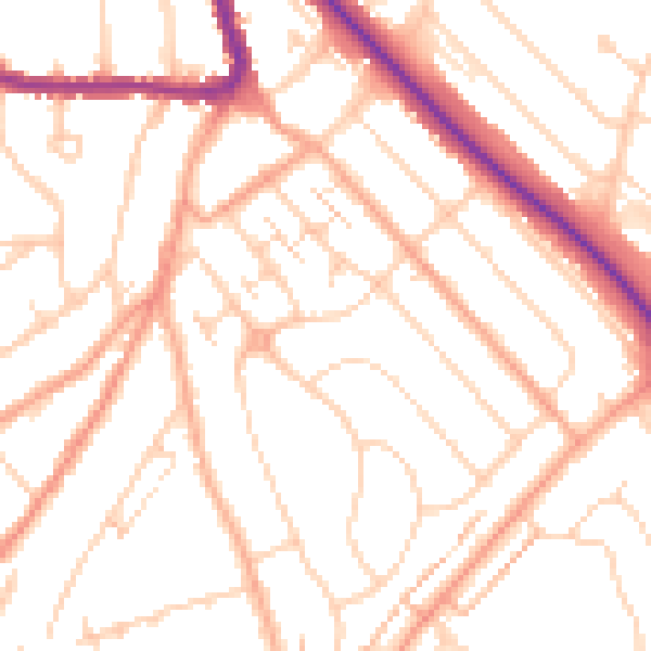
Daytime· 07:00 – 23:00
51.0dB

Night-time· 23:00 – 07:00
40.3dB