9 Collier Chase, Micklefield, Leeds, LS25 4FE
About 9 Collier Chase
9 Collier Chase is a semi-detached house in Micklefield, Leeds, Leeds (LS25 4FE). It has a recorded floor area of 77 m² (around 829 sq ft) and construction records dating it to 2020. The latest certificate (May 2021) returns a B (score 84), comfortably above the UK average. The recommended improvements would push it to A (score 96).
At 77 m² it's 18.5% larger than the typical home in the postcode (65 m² median across 8 EPCs). Today's modelled estimate of £252,000 is 10.5% above the 2021 sale price. Last sale on file: £228,000 in June 2021. That sale was during the post-pandemic price surge, when transactions cleared materially above pre-2020 trend.
Know exactly what you're buying at 9 Collier Chase
Before you offer, see what the listing won't tell you, the true value, the red flags and the full history.
Valuation
against the asking price
Risks
planning & flood
Sold prices
similar homes nearby
Trends
the local market
Energy performance
9 Collier Chase's carbon output is low for the local stock.
EPC Rating
Planning history
9 Collier Chase has no planning applications on record.
The full report still covers planning activity across the surrounding area.
Sales history & valuation
The latest sale landed in the post-pandemic price surge — useful context when reading the figure.
£252,000
Modelled from EPC, postcode comparables.
£228,000
Recorded with HM Land Registry.
Sales timeline
17 June 2021Most recent
£228,000
Median price across the last 5 sales in LS25 4FE: £175,000 (2024–2022).
Nearby sales in LS25 4FE
6 Collier Chase, Micklefield, Leeds, LS25 4FE
Sold Jun 2024
£245,0001 Collier Chase, Micklefield, Leeds, LS25 4FE
Sold May 2024
£174,0005 Collier Chase, Micklefield, Leeds, LS25 4FE
Sold Apr 2024
£178,0002 Collier Chase, Micklefield, Leeds, LS25 4FE
Sold Mar 2022
£175,0004 Collier Chase, Micklefield, Leeds, LS25 4FE
Sold Feb 2022
£175,000
Everything we know about 9 Collier Chase, in one report
What it's really worth, what could be wrong, and the planning, sales and area data in full.
- Am I paying too much?
- Is something wrong with it?
- Is the agent's story true?
- Will it hold its value?

Versus other Collier Chase homes
9 Collier Chase outperforms the street on years held by a wide margin.
Price per m²
£2,961
Street avg £2,735
Floor Area
77 m²
Street avg 66 m²
CO₂ Emissions
1.3 t/year
Street avg 1.2 t/year
Years Held
5 years
Street avg 4 years
Similar properties nearby
1 Church Close Mews, Great North Road, Micklefield
LS25 4AQ
1 Daisy Bank Drive, Micklefield
LS25 4ET
1 Bevin Crescent, Micklefield
LS25 4FB
1 Churchville Avenue, Micklefield
LS25 4AS
1 Daisy Bank Close, Micklefield
LS25 4EZ
1 Averill Way, Micklefield
LS25 4EW
1 Blands Court, Micklefield
LS25 4FD
1 Churchville Terrace, Micklefield
LS25 4AR
The neighbourhood at a glance
Rail-style transport is unusually close for this postcode.
Crime
6/mo
Steady year-on-year across the wider district.
Nearest stop
0.2 km
Great North Road — bus stop.
Closest school
0.2 km
Micklefield Church of England Primary Academy. 3 schools nearby.
Go deeper on the local area
The full report breaks down crime, transport links, schools and air quality in depth.
Road noise across the postcode
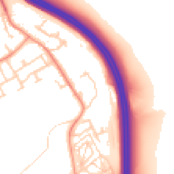
Daytime· 07:00 – 23:00
54.7dB

Night-time· 23:00 – 07:00
45.5dB