Roman Path Place, Apartment 2, 36 Blenheim Road, Lincoln, LN1 1BL
About Roman Path Place
Roman Path Place is a semi-detached house in Lincoln (LN1 1BL). It has a recorded floor area of 34 m² (around 366 sq ft) and construction records dating it to 2007-2011. At 34 m² this is the smallest unit on EPC record across Roman Path Place (34–56 m²). The latest certificate (April 2024) shows a C (score 74). The recommended improvements would push it to B (score 82). Main heating runs on electricity.
11 years since the last transfer (February 2015). Today's modelled estimate of £114,000 is 34.1% above the 2015 sale price.
Know exactly what you're buying at Roman Path Place
Before you offer, see what the listing won't tell you, the true value, the red flags and the full history.
Already flagged here
Valuation
against the asking price
Risks
planning & flood
Sold prices
similar homes nearby
Trends
the local market
Energy performance
EPC Rating
Planning history
Roman Path Place has no planning applications on record.
Notable planning nearby
133applications of note in the surrounding area
We flagged 1 thing worth checking at Roman Path Place
Independent checks surfaced things a buyer would want to understand before offering. The report explains each one in full, with the underlying data and what to ask.
- Signs of HMO activity in the area
30-day money-back guarantee
Sales history & valuation
£114,000
Modelled from EPC, postcode comparables.
£85,000
Recorded with HM Land Registry.
Sales timeline
27 February 2015Most recent
£85,000
Median price across the last 5 sales in LN1 1BL: £140,000 (2020–2015).
Nearby sales in LN1 1BL
Roman Path Place, Apartment 8, 36 Blenheim Road, Lincoln, LN1 1BL
Sold Jan 2020
£160,000Roman Path Place, Apartment 9, 36 Blenheim Road, Lincoln, LN1 1BL
Sold May 2019
£180,000Roman Path Place, Apartment 1, 36 Blenheim Road, Lincoln, LN1 1BL
Sold Feb 2015
£85,000Roman Path Place, Apartment 6, 36 Blenheim Road, Lincoln, LN1 1BL
Sold Feb 2015
£99,000Roman Path Place, Apartment 4, 36 Blenheim Road, Lincoln, LN1 1BL
Sold Jan 2015
£125,000
Everything we know about Roman Path Place, in one report
What it's really worth, what could be wrong, and the planning, sales and area data in full.
What we flagged
- Signs of HMO activity in the area

Versus other Blenheim Road homes
On years held, Roman Path Place runs well behind the street norm.
Price per m²
£2,500
Street avg £2,469
Floor Area
34 m²
Street avg 42 m²
Habitable Rooms
2 rooms
Street avg 2 rooms
CO₂ Emissions
1.7 t/year
Street avg 1.8 t/year
Similar properties nearby
75a, Flat 19, Carholme Road
LN1 1RT
75a, Flat 6, Carholme Road
LN1 1RT
110b, Flat 2, Yarborough Road
LN1 1HR
110b, Flat 3, Yarborough Road
LN1 1HR
75a, Flat 13, Carholme Road
LN1 1RT
1 3, Flat 2, Carline Road
LN1 1HL
110b, Flat 1, Yarborough Road
LN1 1HR
1 3, Flat 5, Carline Road
LN1 1HL
The neighbourhood at a glance
Daytime road noise here sits well below conversation level — a quiet pocket of the postcode.
Crime
2/mo
Steady year-on-year across the wider district.
Nearest stop
0.1 km
Tennyson Street — bus stop.
Closest school
0.1 km
The St Faith's Church of England Infant and Nursery School, Lincoln. 19 schools nearby.
Go deeper on the local area
The full report breaks down crime, transport links, schools and air quality in depth.
Road noise across the postcode
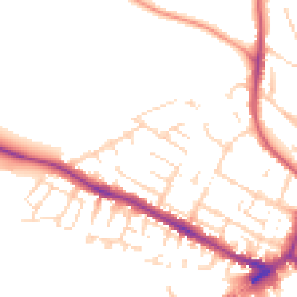
Daytime· 07:00 – 23:00
49.9dB

Night-time· 23:00 – 07:00
41.0dB