Are you a property professional?Get qualified leads from motivated homeowners.
Get started7 Angus Road, Barwell, Leicester, LE9 8HN
Extendable
About 7 Angus Road
A plain-English summary derived from public records, EPC certificates, sold prices and local data.
7 Angus Road is a three-bedroom detached house in Barwell, Leicester, Leicester (LE9 8HN). It has a recorded floor area of 75 m² (around 807 sq ft), construction records dating it to 1967-1975 and council tax band C. The latest certificate (May 2015) shows a D (score 55), a step below the typical UK home. When first surveyed in September 2014 the rating was E, the property has climbed 1 band since. Between certificates, lighting dropped from Poor to Very Poor. The recommended improvements would lift it to B (score 84), a 2-band jump. The latest certificate is from May 2015, so improvements made since then won't be reflected. Our model identifies extension potential, subject to local planning policy.
Sale prices here have outpaced Leicester HPI: 5.4% per year against 0% for the wider region. On a £-per-square-foot basis, the last sale (£276/sq ft) was about 46.2% above the typical sold price in the postcode. Most recent transfer was March 2025 at £223,000 — fresh data. One historical planning record sits against the property in 2025.
What this property has
Pulled from EPC certificates, claim submissions and our property model. Empty categories are hidden — we only show what's known.
Inside
- Bedrooms3
- Bathrooms1
Outside
- GarageYes
Building
Energy performance
Every EPC certificate filed against this property — current rating, recorded improvements, and where there's headroom to reach a higher band.
Recommended upgrades on file would lift this property by multiple EPC bands.
EPC Expired
This certificate is over 10 years old and is no longer valid.Expired 12 May 2025
Planning history
Applications and permits filed against 7 Angus Road, Barwell, Leicester, LE9 8HN, sourced from the PlanIt planning register.
- Jul 2025ExtensionFullPlanning Permission
Extension: Side and rear of property
Single storey side and rear extension with cladding to front elevation
Sales history & valuation
Recorded transactions, our model's current estimate, and a quick read on what neighbouring properties have sold for.
Latest sale on 7 Angus Road was the highest on Land Registry record across the postcode.
Current estimate
See how we calculated this£235,000
Modelled from EPC, postcode comparables and a sale-price growth of 5.4% per year over 29 years.
Last sold (2025)
£223,000
Growth on file: 5.4% per year over 29 years.
Sales timeline
Versus other Angus Road homes
Four headline reads against 7 similar houses on this street, drawn from the latest EPC and Land Registry data.
On years held, 7 Angus Road runs well behind the street norm.
Price per m²
£2,973
Street avg £1,979
Floor Area
75 m²
Street avg 75 m²
Habitable Rooms
4 rooms
Street avg 4 rooms
Similar properties nearby
A handful of close matches in the same postcode area, ranked by likeness on bedrooms, type and floor area.
The neighbourhood at a glance
A condensed read of the local area. Each tile links through to the full breakdown on the Leicester district page.
Daytime road noise here sits well below conversation level — a quiet pocket of the postcode.
Crime
3/mo
Steady year-on-year across the wider district.
Nearest stop
0.0 km
Road noise across the postcode
Modelled day and night-time noise levels around LE9 8HN from Defra's strategic mapping. The pin marks this postcode's centroid.
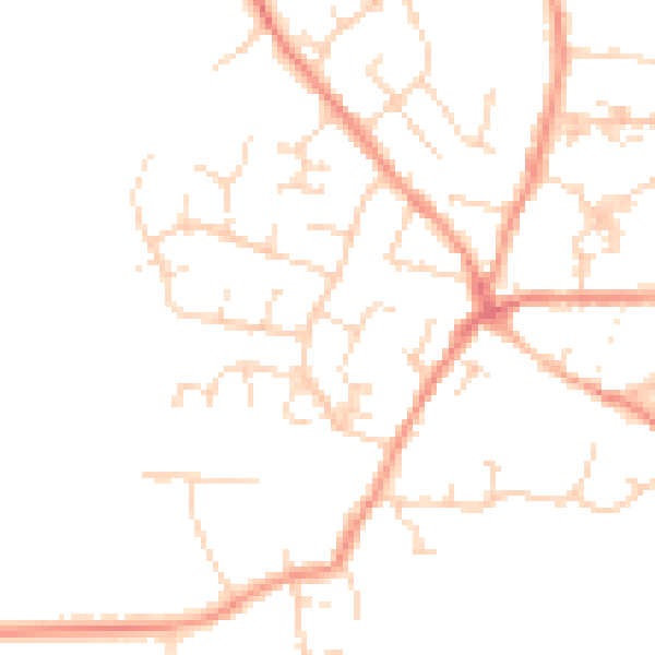
Daytime· 07:00 – 23:00
47.9dB

Everything within walking distance
Schools, transport stops and scenic spots near this property — 41 points of interest in total.
Beautiful places to visit nearby
Curated scenic spots within reach of this postcode, served by Beautifulplaces.ai. Photography and tagging come from their open dataset.
Common questions
The questions buyers, sellers and homeowners most often ask about 7 Angus Road, Barwell, Leicester, LE9 8HN. Each answer is also embedded as structured data for search engines.