Are you a property professional?Get qualified leads from motivated homeowners.
Get started34 Brindley Close, Stoney Stanton, Leicester, LE9 4GL
About 34 Brindley Close
A plain-English summary derived from public records, EPC certificates, sold prices and local data.
34 Brindley Close is a one-bedroom semi-detached house in Stoney Stanton, Leicester, Leicester (LE9 4GL). It has a recorded floor area of 42 m² (around 452 sq ft), construction records dating it to 2003-2006 and council tax band A. At 42 m² this is the 2nd smallest of 27 units on EPC record in the building, where floor areas span 40–165 m². The building's EPC ratings span C to B, with this unit at the bottom. The latest certificate (July 2018) shows a C (score 77), near the top of the C band.
At 42 m² it sits well below the postcode median (96 m² across 26 EPCs), making it one of the more compact homes locally. 1 bedrooms is on the smaller side for this postcode, where 3 is the typical count. Across 2008–2024, sale prices here grew -0.3% per year, broadly in step with Leicester's 0% HPI growth. Last sale on file: £110,000 in January 2024.
What this property has
Pulled from EPC certificates, claim submissions and our property model. Empty categories are hidden — we only show what's known.
Inside
- Bedrooms1
- Bathrooms1
- Dining roomYes
Outside
- Private garden
Energy performance
Every EPC certificate filed against this property — current rating, recorded improvements, and where there's headroom to reach a higher band.
34 Brindley Close's carbon output is low for the local stock.
EPC Rating
A
B
C
C77
D
E
F
G
Main Heating
Gas
Main Fuel
Gas
Hot Water
Good
Windows
Good
CO2 Emissions
1.2 t/year
Occupancy
Rented
Sales history & valuation
Recorded transactions, our model's current estimate, and a quick read on what neighbouring properties have sold for.
34 Brindley Close's sale-price growth has lagged the wider UK trajectory across its history on file.
Current estimate
See how we calculated this£111,000
Modelled from EPC, postcode comparables and a sale-price growth of -0.3% per year over 16 years.
Last sold (2024)
£110,000
Growth on file: -0.3% per year over 16 years.
Sales timeline
Versus other Brindley Close homes
Four headline reads against 4 similar flats on this street, drawn from the latest EPC and Land Registry data.
Price per m² for 34 Brindley Close runs comfortably ahead of the street norm.
Price per m²
£2,619
Street avg £2,332
Floor Area
42 m²
Street avg 46 m²
Habitable Rooms
2 rooms
Similar properties nearby
A handful of close matches in the same postcode area, ranked by likeness on bedrooms, type and floor area.
The neighbourhood at a glance
A condensed read of the local area. Each tile links through to the full breakdown on the Leicester district page.
Daytime road noise here sits well below conversation level — a quiet pocket of the postcode.
Crime
3/mo
Steady year-on-year across the wider district.
Nearest stop
0.0 km
Road noise across the postcode
Modelled day and night-time noise levels around LE9 4GL from Defra's strategic mapping. The pin marks this postcode's centroid.
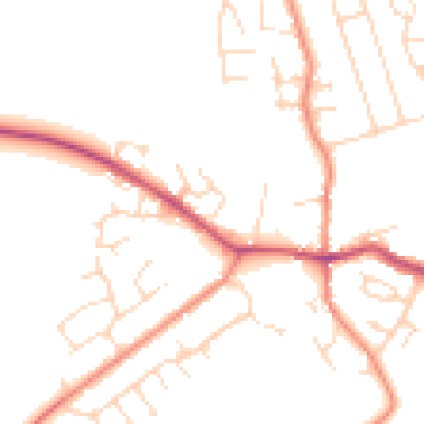
Daytime· 07:00 – 23:00
48.9dB

Everything within walking distance
Schools, transport stops and scenic spots near this property — 31 points of interest in total.
Beautiful places to visit nearby
Curated scenic spots within reach of this postcode, served by Beautifulplaces.ai. Photography and tagging come from their open dataset.
Common questions
The questions buyers, sellers and homeowners most often ask about 34 Brindley Close, Stoney Stanton, Leicester, LE9 4GL. Each answer is also embedded as structured data for search engines.