3 Randles Close, Bushby, Leicester, LE7 9RG
About 3 Randles Close
3 Randles Close is an end-of-terrace house in Bushby, Leicester, Leicester (LE7 9RG). It has a recorded floor area of 56 m² (around 603 sq ft), construction records dating it to 1976-1982 and council tax band B. The latest certificate (December 2019) shows a C (score 70). The recommended improvements would push it to B (score 88).
At 56 m² it's 21.7% smaller than the typical home in the postcode (72 m² median across 16 EPCs).
Know exactly what you're buying at 3 Randles Close
Before you offer, see what the listing won't tell you, the true value, the red flags and the full history.
Valuation
against the asking price
Risks
planning & flood
Sold prices
similar homes nearby
Trends
the local market
Energy performance
EPC Rating
Planning history
3 Randles Close has no planning applications on record.
The full report still covers planning activity across the surrounding area.
Sales history & valuation
3 Randles Close has no Land Registry sales on file, suggesting it has stayed in the same hands since registration began.
£197,000
Modelled from EPC, postcode comparables.
No sales recorded with HM Land Registry
That can mean the property has never traded since the registry began publishing in 1995, was a new build that hasn't been registered yet, or is held in the same hands long-term.
Median price across the last 5 sales in LE7 9RG: £255,000 (2024–2020).
Nearby sales in LE7 9RG
10 Randles Close, Bushby, Leicester, LE7 9RG
Sold Jun 2024
£255,0007 Randles Close, Bushby, Leicester, LE7 9RG
Sold Apr 2024
£213,00011 Randles Close, Bushby, Leicester, LE7 9RG
Sold Jun 2023
£255,0005 Randles Close, Bushby, Leicester, LE7 9RG
Sold Jan 2023
£291,0004 Randles Close, Bushby, Leicester, LE7 9RG
Sold Jul 2011
£152,500
Everything we know about 3 Randles Close, in one report
What it's really worth, what could be wrong, and the planning, sales and area data in full.
- Am I paying too much?
- Is something wrong with it?
- Is the agent's story true?
- Will it hold its value?

Versus other Randles Close homes
3 Randles Close outperforms the street on co₂ emissions by a wide margin.
EPC Rating
70 (C)
Street avg 65 (D)
Floor Area
56 m²
Street avg 79 m²
CO₂ Emissions
2.2 t/year
Street avg 3.7 t/year
Habitable Rooms
3 rooms
Street avg 4 rooms
Similar properties nearby
1 Charity Cottage, Main Street, Keyham
LE7 9JQ
1 Abbotsford Close, Scraptoft
LE7 9TL
1 Alice Hawkins Drive, Scraptoft
LE7 9WQ
1 Chapel Cottage, Chapel Lane, Tugby
LE7 9WA
1 Ash Tree Close, Houghton On The Hill
LE7 9LY
1 Campion Way, Thurnby
LE7 9UP
1 Bradgate Close, Thurnby
LE7 9NP
1 Church Street, Billesdon
LE7 9AE
The neighbourhood at a glance
Daytime road noise here sits well below conversation level — a quiet pocket of the postcode.
Crime
2/mo
Steady year-on-year across the wider district.
Nearest stop
0.1 km
Dalby Avenue — bus stop.
Closest school
0.3 km
Thurnby, St Luke's Church of England Primary School. 14 schools nearby.
Go deeper on the local area
The full report breaks down crime, transport links, schools and air quality in depth.
Road noise across the postcode
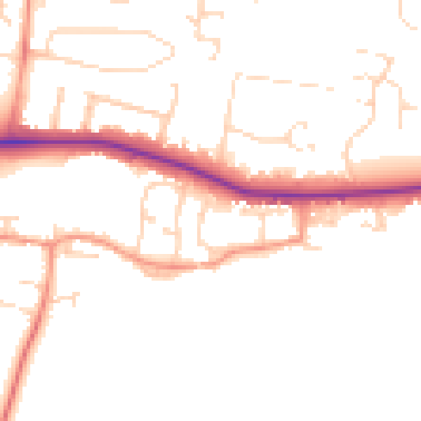
Daytime· 07:00 – 23:00
48.0dB

Night-time· 23:00 – 07:00
40.0dB