14 Garendon Way, Groby, Leicester, LE6 0YR
About 14 Garendon Way
14 Garendon Way is a detached house in Groby, Leicester, Leicester (LE6 0YR). It has a recorded floor area of 118 m² (around 1270 sq ft), construction records dating it to 1983-1990 and council tax band E. The latest certificate (November 2014) shows a C (score 71). The recommended improvements would push it to B (score 84). The latest certificate is from November 2014, so improvements made since then won't be reflected.
It hasn't traded since January 1996, a hold of 30 years that's notably long for the area. Only one transfer is on record with HM Land Registry, suggesting it has stayed in the same hands for a long time. Today's modelled estimate of £385,000 sits 332.6% above the 1996 sale of £89,000. On a £-per-square-foot basis, the last sale (£70/sq ft) was about 59.5% below the postcode norm. Its energy rating outperforms most of the postcode (better than 84% of similar EPCs).
Everything you need to know about 14 Garendon Way
The true value, the hidden risks and the full sale history, in one report.
30-day money-back guarantee

The data behind every report


Energy performance
14 Garendon Way's EPC is over a decade old — improvements since won't be reflected.
EPC Expired
This certificate is over 10 years old and is no longer valid.Expired 20 Nov 2024
EPC Rating
Planning history
14 Garendon Way has no planning applications on record.
The full report still covers planning activity across the surrounding area.
Sales history & valuation
14 Garendon Way's modelled value sits at over four times its earliest registered sale price (1996).
£385,000
Modelled from EPC, postcode comparables.
£89,000
Recorded with HM Land Registry.
Sales timeline
26 January 1996Most recent
£89,000
Median price across the last 5 sales in LE6 0YR: £372,000 (2025–2018).
Nearby sales in LE6 0YR
24 Garendon Way, Groby, Leicester, LE6 0YR
Sold Feb 2025
£415,0004 Garendon Way, Groby, Leicester, LE6 0YR
Sold May 2021
£372,0006 Garendon Way, Groby, Leicester, LE6 0YR
Sold Mar 2021
£290,00030 Garendon Way, Groby, Leicester, LE6 0YR
Sold Nov 2019
£385,00011 Garendon Way, Groby, Leicester, LE6 0YR
Sold Feb 2017
£346,000
Versus other Garendon Way homes
On price per m², 14 Garendon Way runs well behind the street norm.
Price per m²
£754
Street avg £2,483
Floor Area
118 m²
Street avg 119 m²
Habitable Rooms
7 rooms
Street avg 7 rooms
CO₂ Emissions
3.6 t/year
Street avg 5.1 t/year
Everything you need to know about 14 Garendon Way
The true value, the hidden risks and the full sale history, in one report.
30-day money-back guarantee
The data behind every report
Similar properties nearby
1 Buttercup Grove, Ratby
LE6 0PE
1 Astill Close, Ratby
LE6 0SA
1 Bracken Hill, Newtown Linford
LE6 0HJ
1 Buckingham Close, Groby
LE6 0YX
1 Cedar Court, Groby
LE6 0ET
1 Castell Drive, Groby
LE6 0DE
1 Bluebell Drive, Groby
LE6 0AX
1 Buttercup Close, Groby
LE6 0AY
The neighbourhood at a glance
Crime
2/mo
Steady year-on-year across the wider district.
Nearest stop
0.2 km
Garendon Way — bus stop.
Closest school
0.3 km
Lady Jane Grey Primary School. 8 schools nearby.
Go deeper on the local area
The full report breaks down crime, transport links, schools and air quality in depth.
Road noise across the postcode
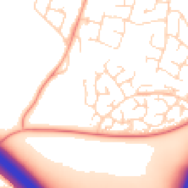
Daytime· 07:00 – 23:00
53.2dB

Night-time· 23:00 – 07:00
44.7dB