98 High Road, Halton, Lancaster, LA2 6PU
About 98 High Road
98 High Road is a property in Halton, Lancaster, Lancaster (LA2 6PU). It has council tax band E.
It hasn't traded since June 2002, a hold of 24 years that's notably long for the area. 2 planning records sit against the property, 2 approved, 0 refused. Past consents include an extension, meaningful when judging how the property has evolved. Across 1997–2002, sale prices on this property compounded at 7.5% per year.
Know exactly what you're buying at 98 High Road
Before you offer, see what the listing won't tell you, the true value, the red flags and the full history.
Valuation
against the asking price
Risks
planning & flood
Sold prices
similar homes nearby
Trends
the local market
Energy performance
No EPC on record
This property doesn't have an Energy Performance Certificate yet. An EPC is required to sell or let — and unlocks our automated valuation.
Planning history
98 High Road has an approved single-storey rear extension on the planning record.
- Oct 2023ExtensionFullIn report
Extension: Single storey · Rear of property
Demolition of existing balcony and erection of a single storey rear extension to detached property with terrace/balcony and external steps
- Agent
- David Haworth Design
- Documents
- 7 docs on file
- Reference
- 23/00925/FUL
- Jan 2004ExtensionFullIn report
Erection of extensions and various alterations to form ground floor granny accommodation and enlargement of master bedroom over with study to lower ground floor
- Documents
- 1 doc on file
- Reference
- 03/01416/FUL
What's in 98 High Road, Halton, Lancaster, LA2 6PU's planning history?
Refusals, disputes and full decisions on this property and nearby, in the report.
Sales history & valuation
£139,500
Growth on file: 7.5% per year over 5 years.
Sales timeline
27 June 2002Most recent
£139,500
+46.8%over 5 years24 February 1997
£95,000
Median price across the last 5 sales in LA2 6PU: £98,000 (2017–1996).
Everything we know about 98 High Road, in one report
What it's really worth, what could be wrong, and the planning, sales and area data in full.
- Am I paying too much?
- Is something wrong with it?
- Is the agent's story true?
- Will it hold its value?

Similar properties nearby
The neighbourhood at a glance
Crime
3/mo
Steady year-on-year across the wider district.
Nearest stop
0.1 km
Shops — bus stop.
Closest school
0.2 km
St Wilfrid's Cof E Primary School. 3 schools nearby.
Go deeper on the local area
The full report breaks down crime, transport links, schools and air quality in depth.
Road noise across the postcode
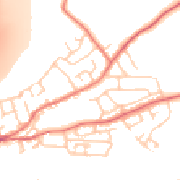
Daytime· 07:00 – 23:00
51.8dB

Night-time· 23:00 – 07:00
41.5dB