47 Papillon Drive, Liverpool, L9 9HL
About 47 Papillon Drive
47 Papillon Drive is a property in Liverpool (L9 9HL). It has council tax band C.
It hasn't traded since September 2008, a hold of 18 years that's notably long for the area. That sale landed at the peak of the pre-credit-crunch market, which is a useful reference point when interpreting the price. One planning record on file: an extension approved in 2010. Past consents include an extension and a conservatory, meaningful when judging how the property has evolved.
Know exactly what you're buying at 47 Papillon Drive
Before you offer, see what the listing won't tell you, the true value, the red flags and the full history.
Already flagged here
Valuation
against the asking price
Risks
planning & flood
Sold prices
similar homes nearby
Trends
the local market
Energy performance
No EPC on record
This property doesn't have an Energy Performance Certificate yet. An EPC is required to sell or let — and unlocks our automated valuation.
Planning history
47 Papillon Drive has an approved rear extension on the planning record.
- Mar 2010ConservatoryFullIn report
Extension: Rear of property
To erect conservatory at rear
Extension- Documents
- 13 docs on file
- Reference
- 10H/0330
We flagged 1 thing worth checking at 47 Papillon Drive
Independent checks surfaced things a buyer would want to understand before offering. The report explains each one in full, with the underlying data and what to ask.
- Larger development activity nearby
30-day money-back guarantee
Sales history & valuation
The latest sale landed at the peak of the pre-credit-crunch market — a high-water reference point.
£149,198
Recorded with HM Land Registry.
Sales timeline
18 September 2008Most recent
£149,198
Median price across the last 5 sales in L9 9HL: £245,000 (2025–2024).
Nearby sales in L9 9HL
Everything we know about 47 Papillon Drive, in one report
What it's really worth, what could be wrong, and the planning, sales and area data in full.
What we flagged
- Larger development activity nearby

Similar properties nearby
The neighbourhood at a glance
Rail-style transport is unusually close for this postcode.
Crime
33/mo
Steady year-on-year across the wider district.
Nearest stop
0.4 km
Fazakerley Station — bus stop.
Closest school
0.5 km
Barlows Primary School. 24 schools nearby.
Go deeper on the local area
The full report breaks down crime, transport links, schools and air quality in depth.
Road noise across the postcode
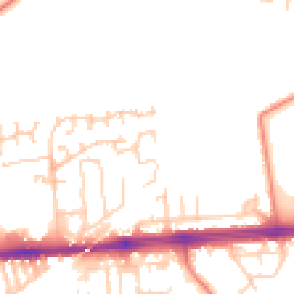
Daytime· 07:00 – 23:00
50.3dB

Night-time· 23:00 – 07:00
40.5dB