35 First Avenue, Fazakerley, Liverpool, L9 9DN
About 35 First Avenue
35 First Avenue is a three-bedroom property in Fazakerley, Liverpool, Liverpool (L9 9DN). It has council tax band A.
Last sold in August 2011, so it's been off the market for around 15 years. Across 1999–2011, sale prices on this property compounded at 6.8% per year.
Know exactly what you're buying at 35 First Avenue
Before you offer, see what the listing won't tell you, the true value, the red flags and the full history.
Already flagged here
Valuation
against the asking price
Risks
planning & flood
Sold prices
similar homes nearby
Trends
the local market
What this property has
Inside
- Bedrooms3
Energy performance
No EPC on record
This property doesn't have an Energy Performance Certificate yet. An EPC is required to sell or let — and unlocks our automated valuation.
Planning history
35 First Avenue has no planning applications on record.
Notable planning nearby
1applications of note in the surrounding area
We flagged 1 thing worth checking at 35 First Avenue
Independent checks surfaced things a buyer would want to understand before offering. The report explains each one in full, with the underlying data and what to ask.
- Larger development activity nearby
30-day money-back guarantee
Sales history & valuation
35 First Avenue has more than doubled in price since the earliest registered sale in 1999.
£60,000
Growth on file: 6.8% per year over 12 years.
Sales timeline
22 August 2011Most recent
£60,000
+50.2%over 11 years5 November 1999
£39,950
+48.0%18 July 1999
£27,000
Median price across the last 5 sales in L9 9DN: £135,000 (2024–2022).
Nearby sales in L9 9DN
1 First Avenue, Fazakerley, Liverpool, L9 9DN
Sold Oct 2024
£100,00015 First Avenue, Fazakerley, Liverpool, L9 9DN
Sold Oct 2024
£168,50017 First Avenue, Fazakerley, Liverpool, L9 9DN
Sold Jun 2024
£135,00037 First Avenue, Fazakerley, Liverpool, L9 9DN
Sold Mar 2024
£147,00021 First Avenue, Fazakerley, Liverpool, L9 9DN
Sold Jul 2021
£105,000
Everything we know about 35 First Avenue, in one report
What it's really worth, what could be wrong, and the planning, sales and area data in full.
What we flagged
- Larger development activity nearby

Similar properties nearby
The neighbourhood at a glance
Rail-style transport is unusually close for this postcode.
Crime
33/mo
Steady year-on-year across the wider district.
Nearest stop
0.1 km
Higher Lane — bus stop.
Closest school
0.3 km
Barlows Primary School. 29 schools nearby.
Go deeper on the local area
The full report breaks down crime, transport links, schools and air quality in depth.
Road noise across the postcode
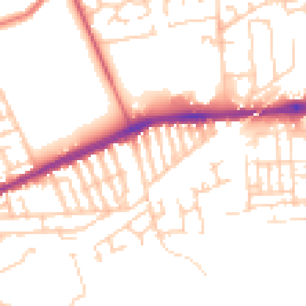
Daytime· 07:00 – 23:00
51.0dB

Night-time· 23:00 – 07:00
41.8dB