15 Harley Street, Liverpool, L9 8DS
About 15 Harley Street
15 Harley Street is a three-bedroom mid-terrace house in Liverpool (L9 8DS). It has a recorded floor area of 95 m² (around 1023 sq ft), construction records dating it to 1900-1929 and council tax band A. The latest certificate (August 2023) shows a D (score 63), on the cusp of jumping into the C band. The recommended improvements would push it to C (score 78).
Today's modelled estimate of £183,000 is 22% above the 2024 sale price. On a £-per-square-foot basis, the last sale (£147/sq ft) was about 90.4% above the typical sold price in the postcode. At 95 m² it's 18.8% smaller than the typical home in the postcode (117 m² median across 12 EPCs). Sold March 2024 for £150,000.
Know exactly what you're buying at 15 Harley Street
Before you offer, see what the listing won't tell you, the true value, the red flags and the full history.
Valuation
against the asking price
Risks
planning & flood
Sold prices
similar homes nearby
Trends
the local market
What this property has
Inside
- Bedrooms3
- Bathrooms1
Outside
- Private gardenSouth-west-facing
Building
- RefurbishedYes
Energy performance
EPC Rating
Planning history
15 Harley Street has no planning applications on record.
Notable planning nearby
1applications of note in the surrounding area
Sales history & valuation
15 Harley Street valuation sits well clear of the typical sold price in this postcode.
£183,000
Modelled from EPC, postcode comparables.
£150,000
Recorded with HM Land Registry.
Sales timeline
13 March 2024Most recent
£150,000
Median price across the last 5 sales in L9 8DS: £205,000 (2023–2020).
Everything we know about 15 Harley Street, in one report
What it's really worth, what could be wrong, and the planning, sales and area data in full.
- Am I paying too much?
- Is something wrong with it?
- Is the agent's story true?
- Will it hold its value?

Versus other Harley Street homes
15 Harley Street outperforms the street on price per m² by a wide margin.
Price per m²
£1,579
Street avg £1,074
Floor Area
95 m²
Street avg 133 m²
Habitable Rooms
5 rooms
Street avg 6 rooms
CO₂ Emissions
4.3 t/year
Street avg 6.2 t/year
Similar properties nearby
The neighbourhood at a glance
Rail-style transport is unusually close for this postcode.
Crime
33/mo
Steady year-on-year across the wider district.
Nearest stop
0.2 km
Orrell Park Rail Station — railway station.
Closest school
0.5 km
Longmoor Community Primary School. 44 schools nearby.
Go deeper on the local area
The full report breaks down crime, transport links, schools and air quality in depth.
Road noise across the postcode
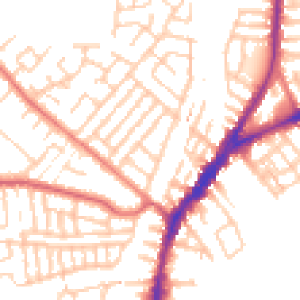
Daytime· 07:00 – 23:00
52.3dB

Night-time· 23:00 – 07:00
41.8dB