9 Orrell Lane, Liverpool, L9 8BU
About 9 Orrell Lane
9 Orrell Lane is a mid-terrace house in Liverpool (L9 8BU). It has a recorded floor area of 93 m² (around 1001 sq ft), construction records dating it to 1900-1929 and council tax band A. The latest certificate (November 2024) shows a C (score 72). When first surveyed in June 2016 the rating was E, the property has climbed 2 bands since. Between certificates, wall efficiency went from Very Poor to Poor, roof efficiency went from Very Poor to Good and window efficiency went from Very Poor to Good. The recommended improvements would push it to B (score 89).
Across 2001–2024, sale prices on this property compounded at 2.5% per year. Today's modelled estimate of £145,000 sits 141.7% above the 2024 sale of £60,000. On a £-per-square-foot basis, the last sale (£60/sq ft) was about 16.2% below the postcode norm. Sold May 2024 for £60,000. Across the public record there are 4 sales, relatively high churn for a single property.
Know exactly what you're buying at 9 Orrell Lane
Before you offer, see what the listing won't tell you, the true value, the red flags and the full history.
Valuation
against the asking price
Risks
planning & flood
Sold prices
similar homes nearby
Trends
the local market
Energy performance
EPC Rating
Property Improvements
Changes detected from historical EPC data
Single glazing replaced with double or better glazing
Wall insulation improved
Roof insulation improved
More low energy lighting installed
Planning history
9 Orrell Lane has no planning applications on record.
Notable planning nearby
1applications of note in the surrounding area
Sales history & valuation
9 Orrell Lane's modelled value sits at over four times its earliest registered sale price (2001).
£145,000
Modelled from EPC, postcode comparables and a sale-price growth of 2.5% per year over 23 years.
£60,000
Growth on file: 2.5% per year over 23 years.
Sales timeline
16 May 2024Most recent
£60,000
-2.0%29 November 2023
£61,250
-36.2%over 16 years1 December 2006
£96,000
+182.4%over 5 years16 February 2001
£34,000
Median price across the last 5 sales in L9 8BU: £75,320 (2023–2009).
Everything we know about 9 Orrell Lane, in one report
What it's really worth, what could be wrong, and the planning, sales and area data in full.
- Am I paying too much?
- Is something wrong with it?
- Is the agent's story true?
- Will it hold its value?

Versus other Orrell Lane homes
9 Orrell Lane is notably below the street on years held.
Price per m²
£645
Street avg £662
Floor Area
93 m²
Street avg 100 m²
Habitable Rooms
5 rooms
Street avg 5 rooms
CO₂ Emissions
3.0 t/year
Street avg 6.7 t/year
Similar properties nearby
The neighbourhood at a glance
Rail-style transport is unusually close for this postcode.
Crime
33/mo
Steady year-on-year across the wider district.
Nearest stop
0.0 km
Orrell Park Rail Station — railway station.
Closest school
0.4 km
Rice Lane Primary School and Nursery. 43 schools nearby.
Go deeper on the local area
The full report breaks down crime, transport links, schools and air quality in depth.
Road noise across the postcode
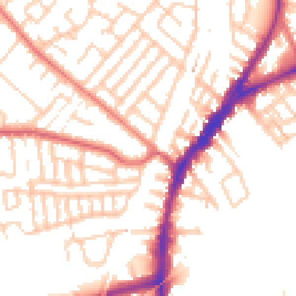
Daytime· 07:00 – 23:00
52.4dB

Night-time· 23:00 – 07:00
42.3dB