15 Carlake Grove, Walton, Liverpool, L9 6GF
About 15 Carlake Grove
15 Carlake Grove is a one-bedroom property in Walton, Liverpool, Liverpool (L9 6GF). It has council tax band A.
Untraded for 20 years, with the last transfer in April 2006. 1 bedrooms is on the smaller side for this postcode, where 3 is the typical count.
Know exactly what you're buying at 15 Carlake Grove
Before you offer, see what the listing won't tell you, the true value, the red flags and the full history.
Already flagged here
Valuation
against the asking price
Risks
planning & flood
Sold prices
similar homes nearby
Trends
the local market
What this property has
Inside
- Bedrooms1
- Dining roomYes
- CloakroomYes
Outside
- ParkingAllocated
Building
- Heating systemGas
Energy performance
No EPC on record
This property doesn't have an Energy Performance Certificate yet. An EPC is required to sell or let — and unlocks our automated valuation.
Planning history
15 Carlake Grove has no planning applications on record.
Notable planning nearby
1applications of note in the surrounding area
We flagged 1 thing worth checking at 15 Carlake Grove
Independent checks surfaced things a buyer would want to understand before offering. The report explains each one in full, with the underlying data and what to ask.
- Larger development activity nearby
30-day money-back guarantee
Sales history & valuation
£102,077
Recorded with HM Land Registry.
Sales timeline
6 April 2006Most recent
£102,077
Median price across the last 5 sales in L9 6GF: £90,000 (2025–2023).
Nearby sales in L9 6GF
1 Carlake Grove, Walton, Liverpool, L9 6GF
Sold Jun 2025
£94,9509 Carlake Grove, Walton, Liverpool, L9 6GF
Sold May 2025
£95,50025 Carlake Grove, Walton, Liverpool, L9 6GF
Sold Apr 2025
£90,00014 Carlake Grove, Walton, Liverpool, L9 6GF
Sold Jul 2023
£90,00042 Carlake Grove, Walton, Liverpool, L9 6GF
Sold Dec 2021
£68,101
Everything we know about 15 Carlake Grove, in one report
What it's really worth, what could be wrong, and the planning, sales and area data in full.
What we flagged
- Larger development activity nearby

Similar properties nearby
The neighbourhood at a glance
Crime
33/mo
Steady year-on-year across the wider district.
Nearest stop
0.1 km
Forsythia Close — bus stop.
Closest school
0.6 km
Leamington Community Primary School. 39 schools nearby.
Go deeper on the local area
The full report breaks down crime, transport links, schools and air quality in depth.
Road noise across the postcode
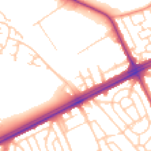
Daytime· 07:00 – 23:00
53.3dB

Night-time· 23:00 – 07:00
44.7dB