7 Wellfarm Close, Walton, Liverpool, L9 6GD
About 7 Wellfarm Close
7 Wellfarm Close is a three-bedroom detached house in Walton, Liverpool, Liverpool (L9 6GD). It has a recorded floor area of 102 m² (around 1098 sq ft), construction records dating it to 1996-2002 and council tax band B. The property has solar panels on record, all of which lower running costs and tend to lift resale appeal. Records show the property has been extended at some point in its history. The latest certificate (August 2014) shows an E (score 46), well below the UK norm with real room to improve. Earlier certificates rated it C (June 2010); the latest reading is 2 bands lower. Between certificates, wall efficiency dropped from Good to Poor and roof efficiency dropped from Good to Average. The recommended improvements would lift it to B (score 83), a 3-band jump. The latest certificate is from August 2014, so improvements made since then won't be reflected.
At 102 m² it's 20% larger than the typical home in the postcode (85 m² median across 23 EPCs). On energy efficiency it sits in the bottom 10% of properties in this postcode — significant headroom for improvement. Across 2004–2014, sale prices on this property compounded at -2.3% per year. Today's modelled estimate of £208,000 sits 60.1% above the 2014 sale of £129,950. On a £-per-square-foot basis, the last sale (£118/sq ft) was about 29.4% below the postcode norm. Last sold in June 2014, so it's been off the market for around 12 years.
Know exactly what you're buying at 7 Wellfarm Close
Before you offer, see what the listing won't tell you, the true value, the red flags and the full history.
Already flagged here
Valuation
against the asking price
Risks
planning & flood
Sold prices
similar homes nearby
Trends
the local market
What this property has
Inside
- Bedrooms3
- Dining roomYes
- Utility roomYes
- EnsuiteYes
Building
- Solar panelsYes
- Previously extendedYes
Energy performance
7 Wellfarm Close sits at the bottom of the postcode for energy efficiency — meaningful headroom to improve.
EPC Expired
This certificate is over 10 years old and is no longer valid.Expired 15 Aug 2024
EPC Rating
Planning history
7 Wellfarm Close has no planning applications on record.
Notable planning nearby
1applications of note in the surrounding area
We flagged 1 thing worth checking at 7 Wellfarm Close
Independent checks surfaced things a buyer would want to understand before offering. The report explains each one in full, with the underlying data and what to ask.
- Larger development activity nearby
30-day money-back guarantee
Sales history & valuation
7 Wellfarm Close valuation sits well clear of the typical sold price in this postcode.
£208,000
Modelled from EPC, postcode comparables and a sale-price growth of -2.3% per year over 10 years.
£129,950
Growth on file: -2.3% per year over 10 years.
Sales timeline
26 June 2014Most recent
£129,950
-20.0%over 9 years17 December 2004
£162,500
Median price across the last 5 sales in L9 6GD: £170,000 (2025–2023).
Nearby sales in L9 6GD
28 Wellfarm Close, Walton, Liverpool, L9 6GD
Sold Sept 2025
£195,00017 Wellfarm Close, Walton, Liverpool, L9 6GD
Sold May 2025
£120,00027 Wellfarm Close, Walton, Liverpool, L9 6GD
Sold Jul 2024
£185,00022 Wellfarm Close, Walton, Liverpool, L9 6GD
Sold Aug 2023
£140,00024 Wellfarm Close, Walton, Liverpool, L9 6GD
Sold Oct 2020
£106,250
Everything we know about 7 Wellfarm Close, in one report
What it's really worth, what could be wrong, and the planning, sales and area data in full.
What we flagged
- Larger development activity nearby

Versus other Wellfarm Close homes
7 Wellfarm Close is notably below the street on price per m².
Price per m²
£1,274
Street avg £1,804
Floor Area
102 m²
Street avg 90 m²
Habitable Rooms
7 rooms
Street avg 5 rooms
CO₂ Emissions
6.7 t/year
Street avg 3.2 t/year
Similar properties nearby
1 Wellfarm Close, Walton
L9 6GD
1 Oleander Way, Walton
L9 6EU
1 Hillbrook Drive, Walton
L9 6GA
1 Godetia Close
L9 6EF
1 Torrisholme Road
L9 6AS
1 Foxglove Close
L9 6EG
1 Raffia Way, Walton
L9 6ES
1 Tilston Close
L9 6DZ
The neighbourhood at a glance
Crime
33/mo
Steady year-on-year across the wider district.
Nearest stop
0.1 km
Blackthorne Road — bus stop.
Closest school
0.5 km
Leamington Community Primary School. 42 schools nearby.
Go deeper on the local area
The full report breaks down crime, transport links, schools and air quality in depth.
Road noise across the postcode
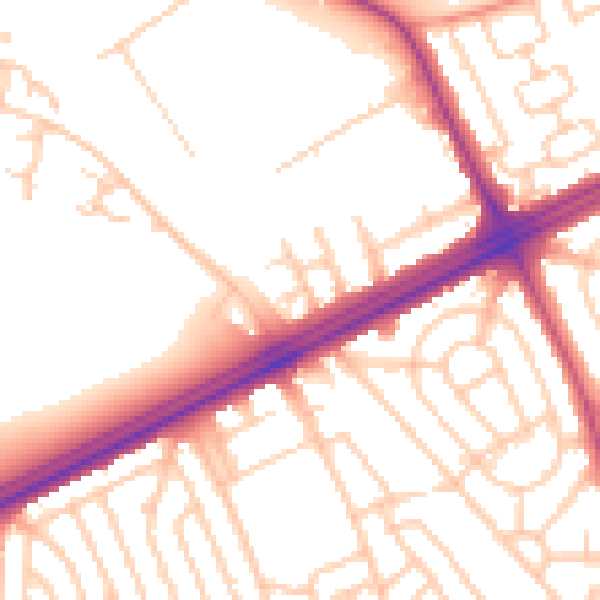
Daytime· 07:00 – 23:00
53.4dB

Night-time· 23:00 – 07:00
44.3dB